MyTopo
Blanding North Utah US Topo Map
Couldn't load pickup availability
Also explore the Blanding North Forest Service Topo of this same quad for updated USFS data
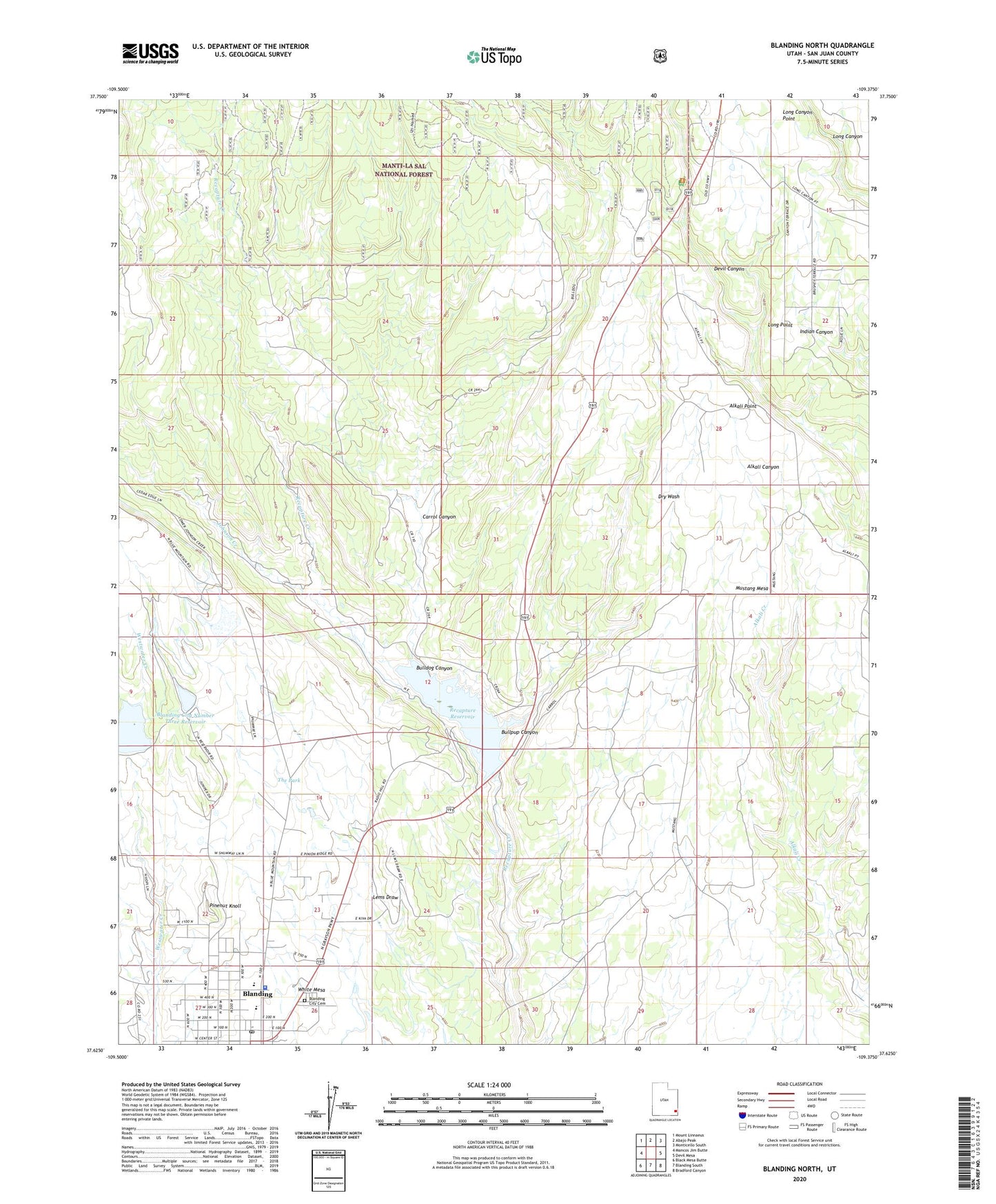
2023 topographic map quadrangle Blanding North in the state of Utah. Scale: 1:24000. Based on the newly updated USGS 7.5' US Topo map series, this map is in the following counties: San Juan. The map contains contour data, water features, and other items you are used to seeing on USGS maps, but also has updated roads and other features. This is the next generation of topographic maps. Printed on high-quality waterproof paper with UV fade-resistant inks.
Quads adjacent to this one:
West: Mancos Jim Butte
Northwest: Mount Linnaeus
North: Abajo Peak
Northeast: Monticello South
East: Devil Mesa
Southeast: Bradford Canyon
South: Blanding South
Southwest: Black Mesa Butte
This map covers the same area as the classic USGS quad with code o37109f4.
Contains the following named places: Albert R Lyman Middle School, Alkali Point, Alkali Ridge Historical Marker, Blanding City Cemetery, Blanding City Number Four Dam, Blanding City Number Three Dam, Blanding City Number Three Reservoir, Blanding City Reservoirs, Blanding Police Department, Blanding Post Office, Bulldog Canyon, Bullpup Canyon, Carrol Canyon, Devils Canyon Campground, Edge of the Cedars Museum, Johnson Creek, KUTA-AM (Blanding), L-C Ranch, Long Canyon Point, Long Point, Mustang Mesa, Pinenut Knoll, Recapture Reservoir, San Juan Emergency Medical Services - Blanding, San Juan High School, The Church of Jesus Christ of Latter Day Saints, The Park, Water Storage Reservoir Number-Four