MyTopo
Hancock Cove Utah US Topo Map
Couldn't load pickup availability
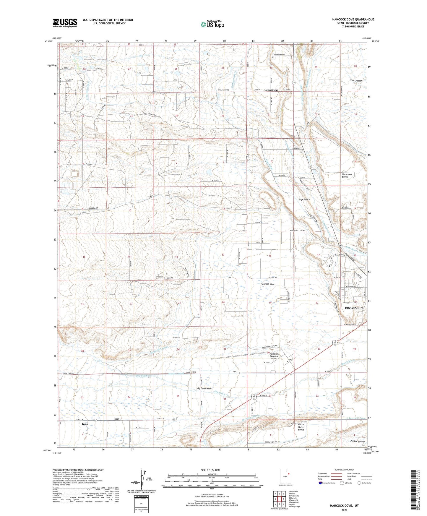
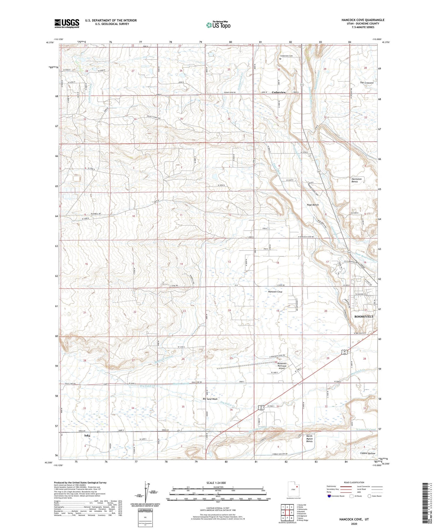
2020 topographic map quadrangle Hancock Cove in the state of Utah. Scale: 1:24000. Based on the newly updated USGS 7.5' US Topo map series, this map is in the following counties: Duchesne. The map contains contour data, water features, and other items you are used to seeing on USGS maps, but also has updated roads and other features. This is the next generation of topographic maps. Printed on high-quality waterproof paper with UV fade-resistant inks.
Quads adjacent to this one:
West: Bluebell
Northwest: Neola NW
North: Neola
Northeast: Whiterocks
East: Roosevelt
Southeast: Windy Ridge
South: Myton
Southwest: Bridgeland
Contains the following named places: Big Sand Wash, Cedarview, Cedarview Cemetery, City of Roosevelt, Duchesne County Hospital Heliport, Hancock Cove, Hancock Lateral, Harmston Bench, Ioka, Martin Lateral, Page Bench, Page Canal, Roosevelt Baptist Church, Roosevelt Lateral, Roosevelt Municipal Airport, Sheehan Lateral, The Church of Jesus Christ of Latter Day Saints, The Crescent, ZIP Code: 84066