
MyTopo
Lake Mountain Utah US Topo Map
Couldn't load pickup availability
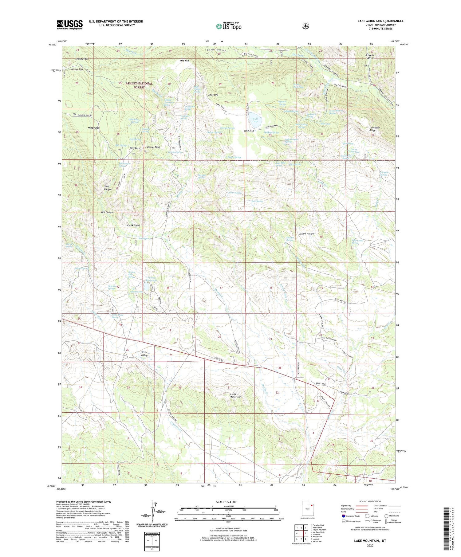
2020 topographic map quadrangle Lake Mountain in the state of Utah. Scale: 1:24000. Based on the newly updated USGS 7.5' US Topo map series, this map is in the following counties: Uintah. The map contains contour data, water features, and other items you are used to seeing on USGS maps, but also has updated roads and other features. This is the next generation of topographic maps. Printed on high-quality waterproof paper with UV fade-resistant inks.
Quads adjacent to this one:
West: Ice Cave Peak
Northwest: Paradise Park
North: Marsh Peak
Northeast: Taylor Mountain
East: Dry Fork
Southeast: Vernal NW
South: Lapoint
Southwest: Whiterocks
Contains the following named places: Alcorn Hollow, Bear Seep, Bear Wallow Spring, Beeler Spring, Bills Park, Bills Spring, Brownie Canyon, Buckhorn Spring, Bum Spring, Burton Reservoir, Burton Seep, Canyon Spring, Cedar Point Spring, Chalk Cliffs, Chenab Spring, Chicken Spring, Chokecherry Flat Reservoir, Corral Spring, Cove Spring, Cow Spring, Crow Creek, Deep Creek Spring, Douglas Spring, Dryland Spring, Flat Spring, Grouse Creek, Grouse Flat Spring, Gull Lake, Indian Spring, Jay Point, Knoll Spring, Lake Canyon Spring, Lake Creek, Lake Mountain, Lightning Spring, Little Water Hills, Little Water Mines, Lower Bottom Spring, Lower Flat Seep, Lower Flat Spring, Lower Grouse Reservoir, Lyles Hole Spring, Lyman Spring, Middle Mountain, Middle Mountain Seep, Mill Canyon, Mill Canyon Spring, Mosby Creek, Mosby Mountain Game Exclosure, Mosby Park, Mosby Sink, Mule Hollow Spring, North Fork Crow Creek, North Fork Dry Fork, North Point Seep, Prospector Spring, Sage Hen Spring, Sawtooth Ridge, Smelter Creek, Smelter Spring, South Fork Dry Fork, Sprouse Spring, Squaw Spring, Trail Canyon, Uranium Spring, Walkup Spring, Warden Spring, Weasel Point


