MyTopo
Little Creek Peak Utah US Topo Map
Couldn't load pickup availability
Also explore the Little Creek Peak Forest Service Topo of this same quad for updated USFS data
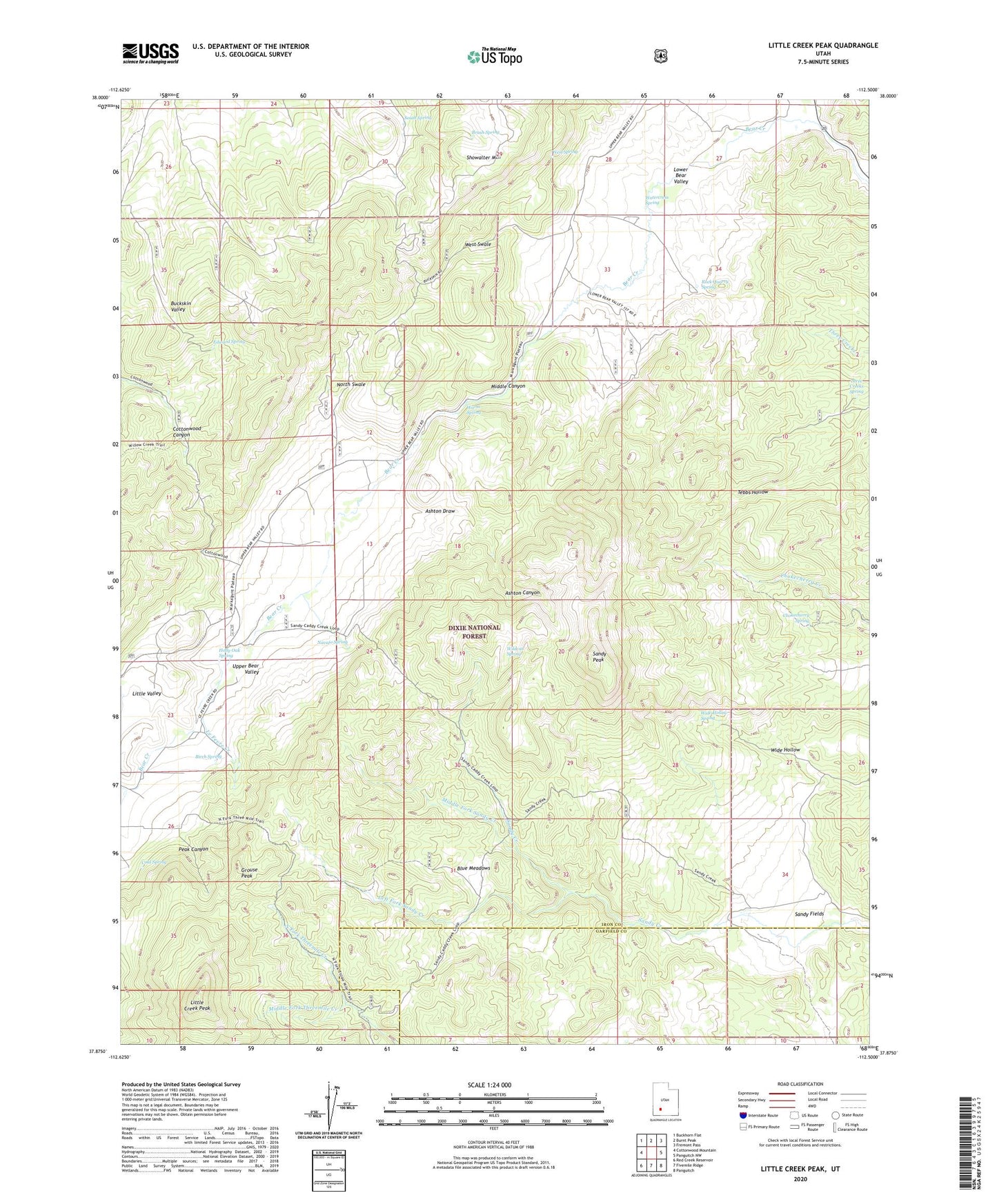
2023 topographic map quadrangle Little Creek Peak in the state of Utah. Scale: 1:24000. Based on the newly updated USGS 7.5' US Topo map series, this map is in the following counties: Iron, Garfield. The map contains contour data, water features, and other items you are used to seeing on USGS maps, but also has updated roads and other features. This is the next generation of topographic maps. Printed on high-quality waterproof paper with UV fade-resistant inks.
Quads adjacent to this one:
West: Cottonwood Mountain
Northwest: Buckhorn Flat
North: Burnt Peak
Northeast: Fremont Pass
East: Panguitch NW
Southeast: Panguitch
South: Fivemile Ridge
Southwest: Red Creek Reservoir
This map covers the same area as the classic USGS quad with code o37112h5.
Contains the following named places: Ashton Canyon, Ashton Draw, Bear Valley Guard Station, Birch Spring, Blue Meadows, Brush Spring, Chokecherry Spring, Cold Spring, Edward Spring, Grouse Peak, Holly Oak Spring, Le Fevre Creek, Left Fork Sandy Creek, Little Creek Peak, Little Valley, Lower Bear Valley, Middle Canyon, Middle Fork Sandy Creek, Middle Fork Threemile Creek, Navajo Spring, North Swale, Peak Canyon, Rock Quarry Spring, Sandy Fields, Sandy Peak, South Spring, Three Creeks Spring, Upper Bear Valley, Warm Spring, Watercress Spring, West Spring, West Swale, Wide Hollow Spring, Wildcat Spring