MyTopo
Mesa Butte Utah US Topo Map
Couldn't load pickup availability
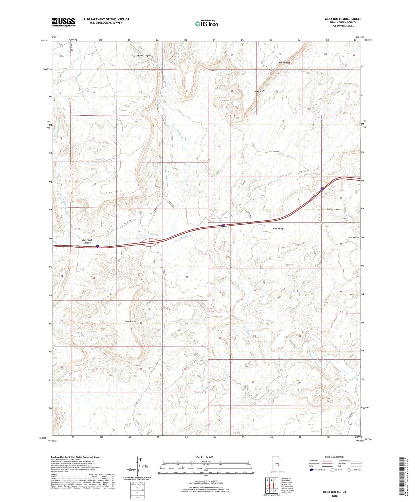
2020 topographic map quadrangle Mesa Butte in the state of Utah. Scale: 1:24000. Based on the newly updated USGS 7.5' US Topo map series, this map is in the following counties: Emery. The map contains contour data, water features, and other items you are used to seeing on USGS maps, but also has updated roads and other features. This is the next generation of topographic maps. Printed on high-quality waterproof paper with UV fade-resistant inks.
Quads adjacent to this one:
West: Walker Flat
Northwest: Emery West
North: Emery East
Northeast: Short Canyon
East: Big Bend Draw
Southeast: Ireland Mesa
South: Mussentuchit Flat
Southwest: Willow Springs
Contains the following named places: Blue Trail Canyon, Coal Cliffs, Cowboy Mine, Emery-Ferron Division, Ivie Creek, Lone Tree Crossing, Mesa Butte, Miller Canyon, Quitchupah Creek, Red Valley