MyTopo
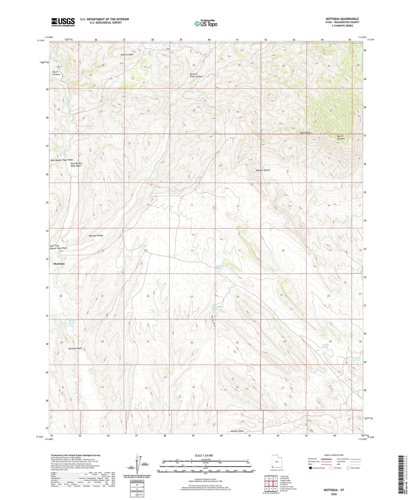
Motoqua Utah US Topo Map
Couldn't load pickup availability
2023 topographic map quadrangle Motoqua in the state of Utah. Scale: 1:24000. Based on the newly updated USGS 7.5' US Topo map series, this map is in the following counties: Washington. The map contains contour data, water features, and other items you are used to seeing on USGS maps, but also has updated roads and other features. This is the next generation of topographic maps. Printed on high-quality waterproof paper with UV fade-resistant inks.
Quads adjacent to this one:
West: Dodge Spring
Northwest: Docs Pass
North: Goldstrike
Northeast: Maple Ridge
East: Gunlock
Southeast: Shivwits
South: West Mountain Peak
Southwest: Scarecrow Peak
This map covers the same area as the classic USGS quad with code o37113c8.
Contains the following named places: Bentley Spring, Bentley Wash, Butcher Knife Canyon, Cane Spring, East Bunker Peak Wash, East Fork Beaver Dam Wash, Horse Canyon, Jackson Reservoir, Jackson Spring, Mormon Range, Motoqua, Nordin Ranch, Potters Peak, Red Hollow Reservoir, Red Hollow Spring, Square Top Mountain