MyTopo
Ouray SE Utah US Topo Map
Couldn't load pickup availability
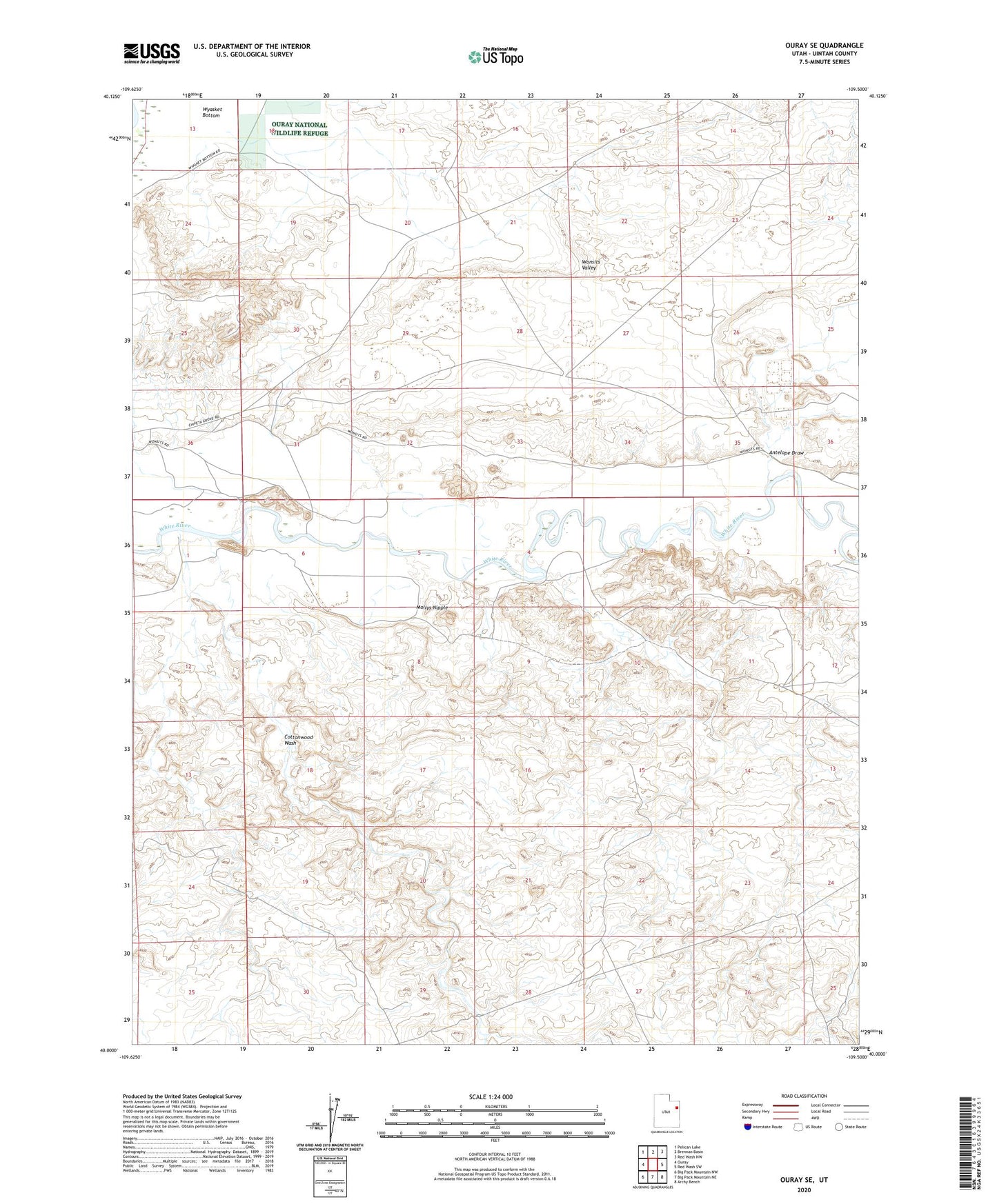
2023 topographic map quadrangle Ouray SE in the state of Utah. Scale: 1:24000. Based on the newly updated USGS 7.5' US Topo map series, this map is in the following counties: Uintah. The map contains contour data, water features, and other items you are used to seeing on USGS maps, but also has updated roads and other features. This is the next generation of topographic maps. Printed on high-quality waterproof paper with UV fade-resistant inks.
Quads adjacent to this one:
West: Ouray
Northwest: Pelican Lake
North: Brennan Basin
Northeast: Red Wash NW
East: Red Wash SW
Southeast: Archy Bench
South: Big Pack Mountain NE
Southwest: Big Pack Mountain NW
This map covers the same area as the classic USGS quad with code o40109a5.
Contains the following named places: Antelope Draw, Cottonwood Wash, Mollys Nipple, Uintah County