MyTopo
Patmos Head Utah US Topo Map
Couldn't load pickup availability
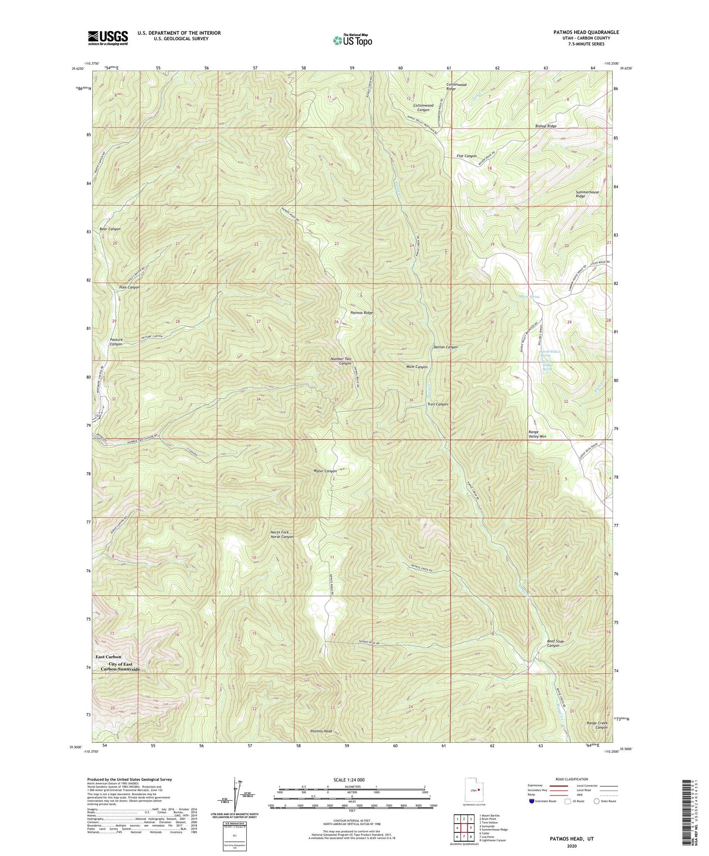
2023 topographic map quadrangle Patmos Head in the state of Utah. Scale: 1:24000. Based on the newly updated USGS 7.5' US Topo map series, this map is in the following counties: Carbon. The map contains contour data, water features, and other items you are used to seeing on USGS maps, but also has updated roads and other features. This is the next generation of topographic maps. Printed on high-quality waterproof paper with UV fade-resistant inks.
Quads adjacent to this one:
West: Sunnyside
Northwest: Mount Bartles
North: Bruin Point
Northeast: Twin Hollow
East: Summerhouse Ridge
Southeast: Lighthouse Canyon
South: Lila Point
Southwest: Cedar
This map covers the same area as the classic USGS quad with code o39110e3.
Contains the following named places: Bear Canyon, Beef Slide Canyon, Bishop Ridge, Dalton Canyon, Dalton Spring, Mule Canyon, North Willow Spring, Pasture Canyon, Patmos Head, Patmos Ridge, Pole Canyon, Range Valley Mountain, South Willow Spring, Sunnyside Mine, Trail Canyon, Upper Sunnyside, Willow Spring Cow Camp, ZIP Code: 84539