MyTopo
Poison Canyon Utah US Topo Map
Couldn't load pickup availability
Also explore the Poison Canyon Forest Service Topo of this same quad for updated USFS data
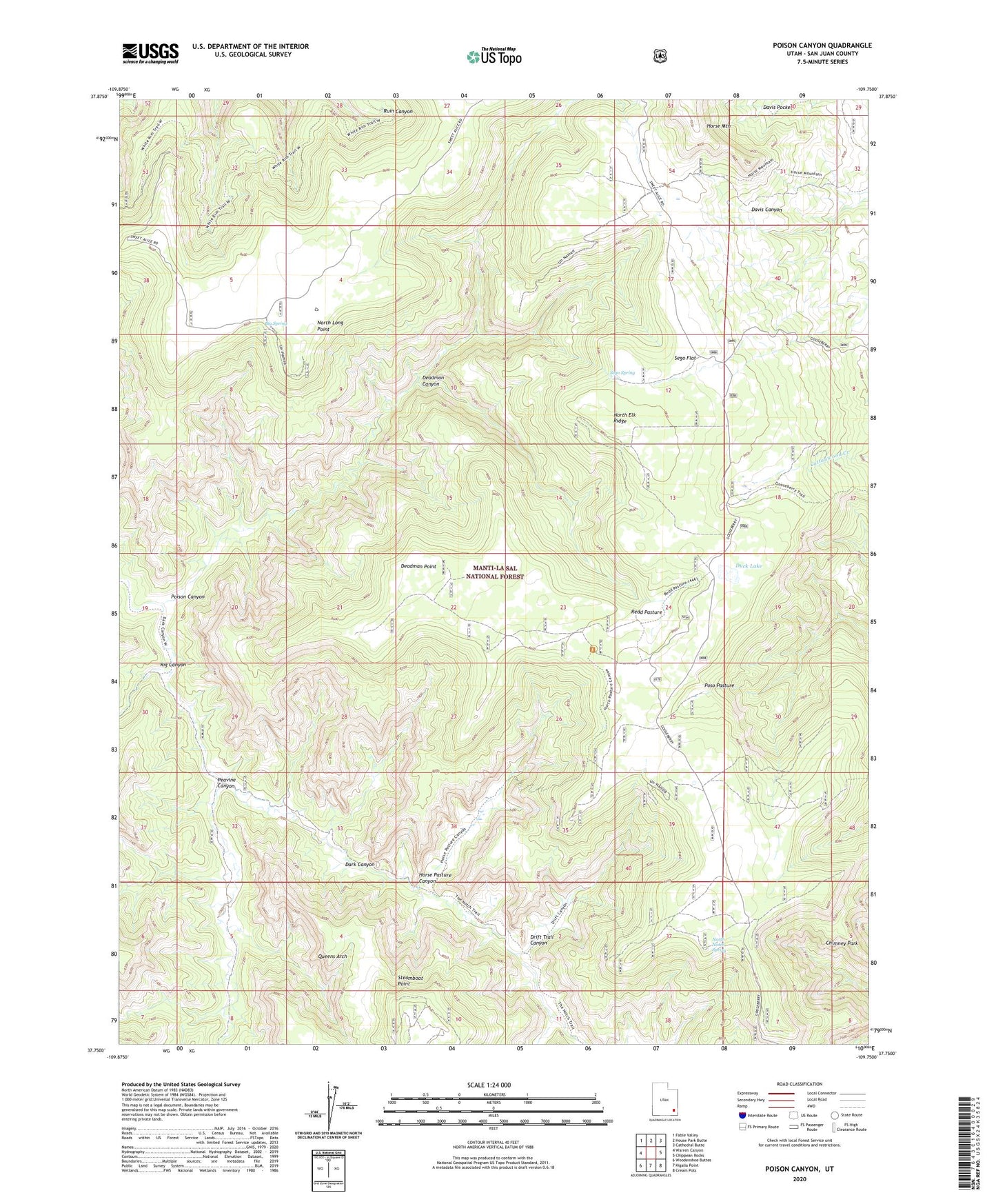
2023 topographic map quadrangle Poison Canyon in the state of Utah. Scale: 1:24000. Based on the newly updated USGS 7.5' US Topo map series, this map is in the following counties: San Juan. The map contains contour data, water features, and other items you are used to seeing on USGS maps, but also has updated roads and other features. This is the next generation of topographic maps. Printed on high-quality waterproof paper with UV fade-resistant inks.
Quads adjacent to this one:
West: Warren Canyon
Northwest: Fable Valley
North: House Park Butte
Northeast: Cathedral Butte
East: Chippean Rocks
Southeast: Cream Pots
South: Kigalia Point
Southwest: Woodenshoe Buttes
This map covers the same area as the classic USGS quad with code o37109g7.
Contains the following named places: Big Spring, Chimney Park, Davis Pocket, Deadman Canyon, Deadman Point, Drift Trail Canyon, Duck Lake, Duck Lake Point of Interest, Gooseberry Ranger Station, Horse Pasture Canyon, Natural Arch Point of Interest, North Elk Ridge, North Long Point, North Notch Spring, Peavine Canyon, Poison Canyon, Poso Pasture, Queens Arch, Redd Pasture, Rig Canyon, Scorup Cabin Point of Interest, Sego Flat, Sego Spring, Steamboat Point Mine