MyTopo
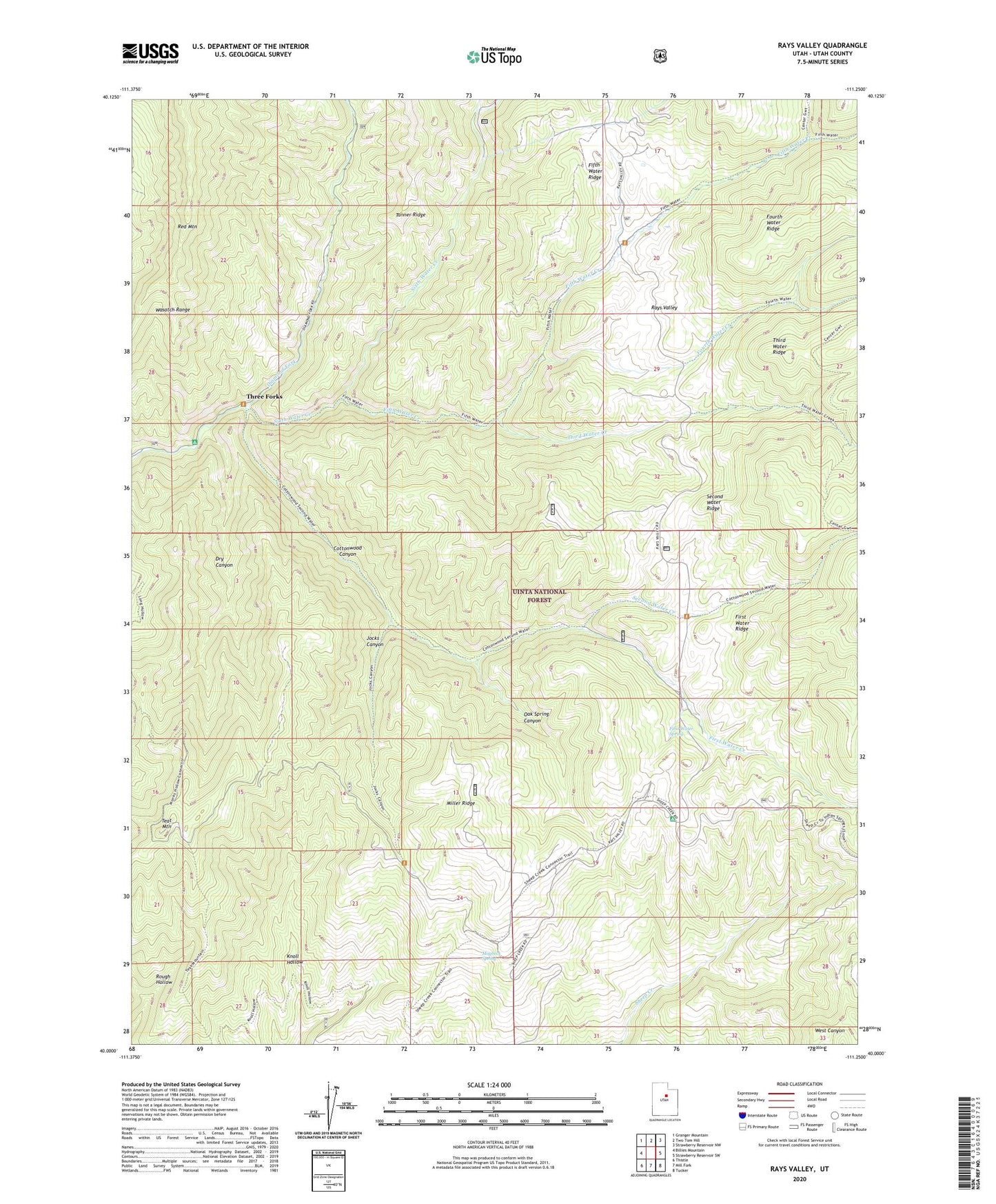
Rays Valley Utah US Topo Map
Couldn't load pickup availability
Also explore the Rays Valley Forest Service Topo of this same quad for updated USFS data
2023 topographic map quadrangle Rays Valley in the state of Utah. Scale: 1:24000. Based on the newly updated USGS 7.5' US Topo map series, this map is in the following counties: Utah. The map contains contour data, water features, and other items you are used to seeing on USGS maps, but also has updated roads and other features. This is the next generation of topographic maps. Printed on high-quality waterproof paper with UV fade-resistant inks.
Quads adjacent to this one:
West: Billies Mountain
Northwest: Granger Mountain
North: Two Tom Hill
Northeast: Strawberry Reservoir NW
East: Strawberry Reservoir SW
Southeast: Tucker
South: Mill Fork
Southwest: Thistle
This map covers the same area as the classic USGS quad with code o40111a3.
Contains the following named places: Coal Mine Campground, Cottonwood Canyon, Dry Canyon, Fifth Water Creek, First Water Cabin, First Water Creek, First Water Ridge, First Water Spring, Fourth Water Creek, Jocks Canyon, Miller Ridge, Mogbeck Spring, Oak Spring Canyon, Rays Valley, Second Water Creek, Second Water Ridge, Sixth Water Creek, Springville-Mapleton Division, Teat Mountain, Third Water Creek, Three Forks, Three Forks Campground