MyTopo
Vernon NE Utah US Topo Map
Couldn't load pickup availability
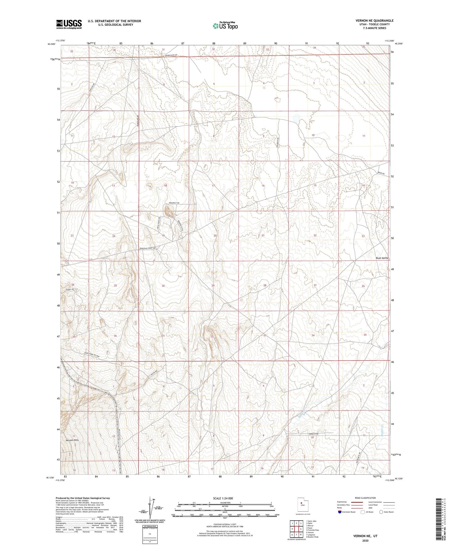
2023 topographic map quadrangle Vernon NE in the state of Utah. Scale: 1:24000. Based on the newly updated USGS 7.5' US Topo map series, this map is in the following counties: Tooele. The map contains contour data, water features, and other items you are used to seeing on USGS maps, but also has updated roads and other features. This is the next generation of topographic maps. Printed on high-quality waterproof paper with UV fade-resistant inks.
Quads adjacent to this one:
West: Faust
Northwest: Saint John
North: Ophir
Northeast: Mercur
East: Fivemile Pass
Southeast: Boulter Peak
South: Lofgreen
Southwest: Vernon
This map covers the same area as the classic USGS quad with code o40112b3.
Contains the following named places: Rush Valley Division, Site of Rush Valley Pony Express Station