MyTopo
Barboursville Virginia US Topo Map
Couldn't load pickup availability
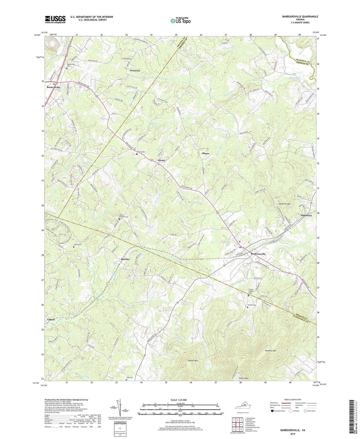
2022 topographic map quadrangle Barboursville in the state of Virginia. Scale: 1:24000. Based on the newly updated USGS 7.5' US Topo map series, this map is in the following counties: Orange, Albemarle, Greene, Madison. The map contains contour data, water features, and other items you are used to seeing on USGS maps, but also has updated roads and other features. This is the next generation of topographic maps. Printed on high-quality waterproof paper with UV fade-resistant inks.
Quads adjacent to this one:
West: Earlysville
Northwest: Stanardsville
North: Rochelle
Northeast: Madison Mills
East: Gordonsville
Southeast: Boswells Tavern
South: Keswick
Southwest: Charlottesville East
This map covers the same area as the classic USGS quad with code o38078b3.
Contains the following named places: Albano, Aldrich Dam, Aldrich Pond, Barboursville, Barboursville Census Designated Place, Barboursville Plantation, Barboursville Post Office, Barboursville Volunteer Fire Company and Rescue Squad, Barboursville Winery, Beaver Run, Bethany Church, Burnley, Burnley Branch, Burnleys Vineyard, Cavesville, Cedar Run, Chestnut Grove Church, Church Run, Colvin Creek, County Line Branch, Dickensons Store, Dowell Mountain, Eheart, Eheart Cemetery, Foxwood, Full Gospel Church, Gilbert, Goodlow Mountain, Goss Cemetery, Hardwick Mountain, Herndon Mill, High Point School, Hinson Hollow Branch, Holy Trinity Church, Johns Cemetery, Knights Chapel, Knights Chapel Cemetery, Marsh Run, Marshall Creek, Mount Lebanon Cemetery, Mount Lebanon Church, Mundy School, Newtown, Orange County Rescue Squad Station 25, Peters Mountain, Piedmont Manor, Red Horse Farm, Ruckersville, Ruckersville Cemetery, Ruckersville District, Ruckersville Post Office, Saint Marys Church, Sandy Branch, Solaris, Thomas Cemetery, Three Forks, Tibbstown, Union Grove Church, Union School, Wildon Grove Church, Word Farm Dam, Word Farm Pond, WXZY-FM (Ruckersville), ZIP Code: 22923


