MyTopo
Callaghan Virginia US Topo Map
Couldn't load pickup availability
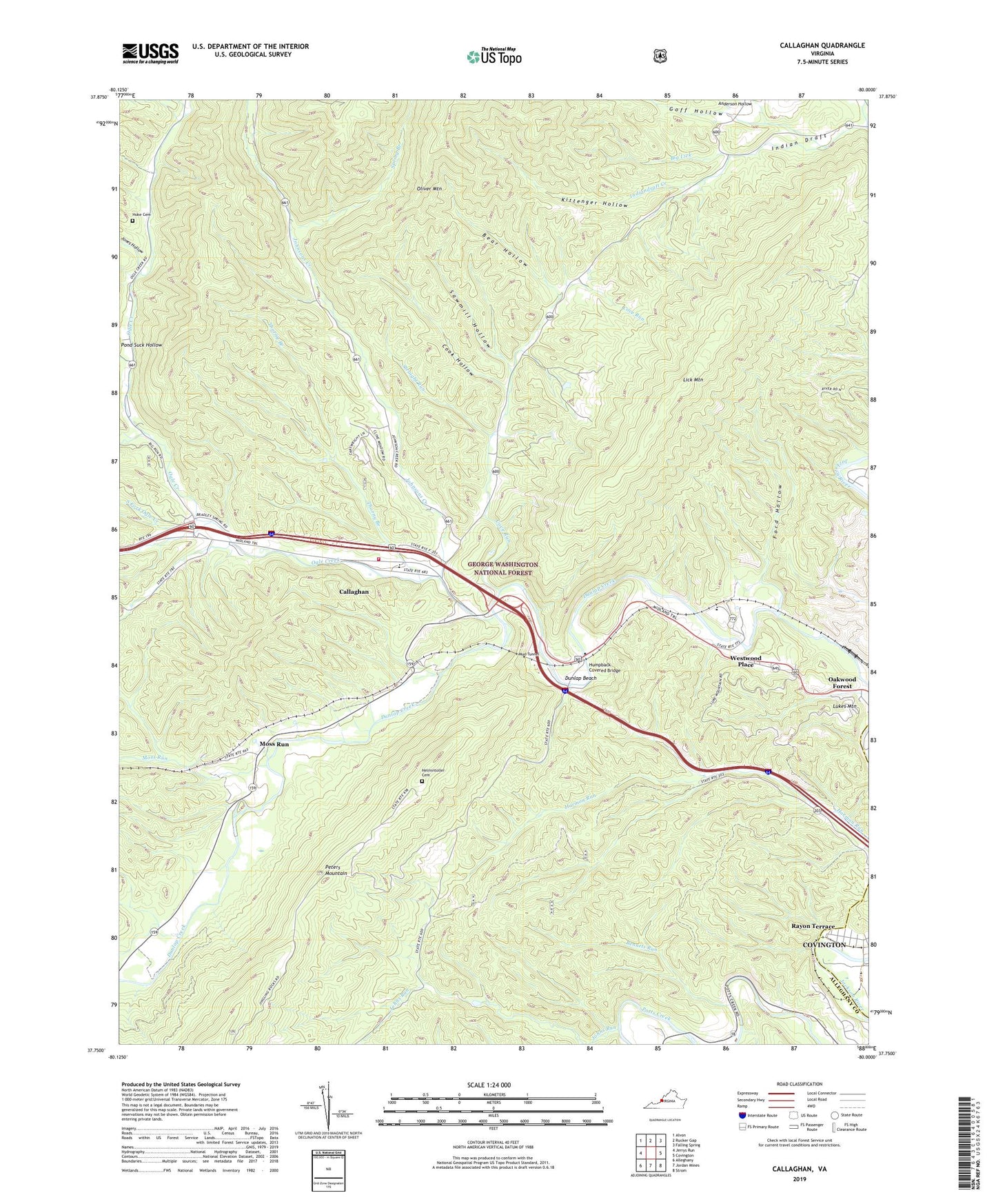
2019 topographic map quadrangle Callaghan in the state of Virginia. Scale: 1:24000. Based on the newly updated USGS 7.5' US Topo map series, this map is in the following counties: Alleghany, Covington (city). The map contains contour data, water features, and other items you are used to seeing on USGS maps, but also has updated roads and other features. This is the next generation of topographic maps. Printed on high-quality waterproof paper with UV fade-resistant inks.
Quads adjacent to this one:
West: Jerrys Run
Northwest: Alvon
North: Rucker Gap
Northeast: Falling Spring
East: Covington
Southeast: Strom
South: Jordan Mines
Southwest: Alleghany
Contains the following named places: Alleghany County, Anderson Hollow, Bear Hollow, Bennets Run, Big Lick, Big Run, Callaghan, Callaghan Census Designated Place, Callaghan Elementary School, Cook Hollow, Cove Run, Covington District, Dry Branch, Dunlap Beach, Dunlap Volunteer Fire and Rescue Substation, Fletcher Chapel, Ford Hollow, Goff Hollow, Helmintoller Cemetery, Hoke Cemetery, Hoke Chapel, Humpback Bridge Wayside, Humpback Covered Bridge, Industrial School and Farm for Homeless Boys, Johns Run, Johnsons Creek, Johnsons Creek Church, Jones Hollow, Kittenger Hollow, Laurel Branch, Lick Mountain, Lukes Mountain, Moss Run, Moss Run Baptist Church, Mud Tunnel, Oakwood Forest, Ogle Creek, Pond Suck Hollow, Sawmill Hollow, South Covington Church, South Fork Ogle Creek, Spring Branch, Stonewall, Straight Run, Thorny Branch, Westvaco Number Two Flyash Lagoon, Westvaco Number Two Flyash Lagoon Dam, Westwood Place, ZIP Code: 24426