MyTopo
Covington Virginia US Topo Map
Couldn't load pickup availability
Also explore the Covington Forest Service Topo of this same quad for updated USFS data
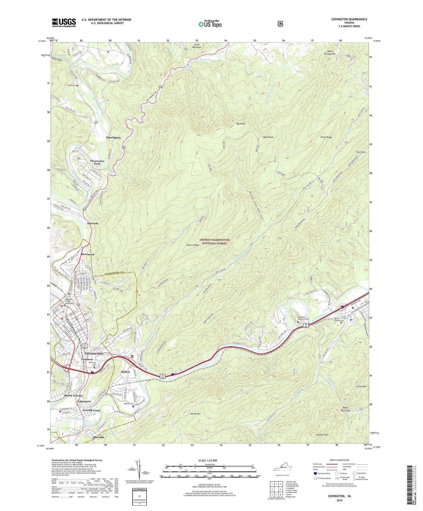
2022 topographic map quadrangle Covington in the state of Virginia. Scale: 1:24000. Based on the newly updated USGS 7.5' US Topo map series, this map is in the following counties: Alleghany, Covington (city). The map contains contour data, water features, and other items you are used to seeing on USGS maps, but also has updated roads and other features. This is the next generation of topographic maps. Printed on high-quality waterproof paper with UV fade-resistant inks.
Quads adjacent to this one:
West: Callaghan
Northwest: Rucker Gap
North: Falling Spring
Northeast: Healing Springs
East: Clifton Forge
Southeast: Eagle Rock
South: Strom
Southwest: Jordan Mines
This map covers the same area as the classic USGS quad with code o37079g8.
Contains the following named places: Alleghany Country Club, Alleghany County Courthouse, Alleghany County Industrial Park, Alleghany County Jail, Alleghany County Regional Jail, Alleghany County Sheriffs Department, Alleghany County Sheriff's Office, Alleghany High School, Alleghany Memorial Hospital, Alleghany Memorial Park, Alleghany Regional Hospital Heliport, Altamont Church, Bald Knob, Big Knob, Callaghan Hollow, Calvary Baptist Church, Cedar Hill Cemetery, Central Elementary School, Church of God, City of Covington, Clearwater Park, Clifton Forge-Covington Airport, Covington, Covington Baptist Church, Covington City Hall, Covington Fire Department and Rescue Squad Station 2, Covington High School, Covington Historic District, Covington Industrial Park, Covington Police Department, Covington Post Office, Covington Volunteer Fire Department and Rescue Squad Station 1, Dolly Ann Hollow, Dry Run, Dunlap Creek, East Covington School, Edgemont, Edgemont Primary School, Emmanuel Episcopal Church, Epworth Methodist Church, Fairlawn, Falling Spring Falls, Falling Spring Volunteer Fire Department and Rescue Squad, First Baptist Church, First Christian Church, First Church of God, First Church of the Nazarene, First Methodist Church, First Presbyterian Church, Fore Mountain, Fort Young, Granbery Memorial United Methodist Church, Harmon Run, Harrington, Horse Mountain, Idlewilde, Indian Draft, Indiandraft Creek, Intervale, Jackson River District, Jackson River Technical Center, James River Ranger District, James River Work Center, Jeter - Watson Intermediate School, Jeter School, Jones Memorial Branch Library, Karnes Creek, Laurel Branch, LewisGale Hospital Alleghany, Low Moor, Low Moor Post Office, Low Moor Presbyterian Church, Mallow, Mallow Cemetery, Mallow Census Designated Place, Mallow Mall Shopping Center, Mallow Presbyterian Church, McAllister Memorial Presbyterian Church, MeadWestvaco Fire Department, Mill Branch, Mount Carmel Cemetery, Mount Pleasant Church, Parrish Court, Parrish Court United Methodist Church, Pentecostal Holiness Church, Peters Ridge, Pilgrim Holiness Church, Pine Street Baptist Church, Piney Ridge, Ponding Mill Creek, Potts Creek, Rayon Terrace, Rich Patch Mines, Rivermont, Roaring Run, Sacred Heart Roman Catholic Church, Smith Cemetery, Trinity Baptist Church, Watson High School, White Rock Church, White Rock Creek, White Rock Gap, WIQO-FM (Covington), WKEY-AM (Covington), ZIP Code: 24457


