MyTopo
Fine Creek Mills Virginia US Topo Map
Couldn't load pickup availability
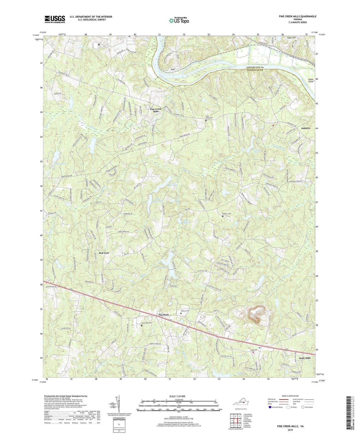
2022 topographic map quadrangle Fine Creek Mills in the state of Virginia. Scale: 1:24000. Based on the newly updated USGS 7.5' US Topo map series, this map is in the following counties: Powhatan, Goochland. The map contains contour data, water features, and other items you are used to seeing on USGS maps, but also has updated roads and other features. This is the next generation of topographic maps. Printed on high-quality waterproof paper with UV fade-resistant inks.
Quads adjacent to this one:
West: Powhatan
Northwest: Goochland
North: Perkinsville
Northeast: Hylas
East: Midlothian
Southeast: Hallsboro
South: Clayville
Southwest: Chula
This map covers the same area as the classic USGS quad with code o37077e7.
Contains the following named places: Branch Creek, Byers Dam, Byers Mill Dam, Byers Millpond, Byers Pond, Chestnut Oaks, Corinth Church, Deep Meadow Correctional Center, Deerfield School, District 1, Fine Creek, Fine Creek Mills, Flat Rock, Flatrock Air Strip, Genito Creek, Holly Hills, Jones Creek, Krouses Mill, Lake Shawnee, Lake Shawnee Dam, Lee, Lilburn, Lower Byers Dam, Lower Byers Lake, Mill Creek, Mount Calvary Church, Old Powhatan Church, Pleasant Green, Pleasant Grove Baptist Church, Powhatan County Fire Department Company 2 - Huguenot Volunteer Fire Department, Powhatan County Fire Department Company 4 - Fine Creek Volunteer Fire Department, Powhatan County Volunteer Rescue Squad Substation 1, Powhatan High School, Powhatan Vocational Center School, Red Lane, Red Lane Baptist Church, Rocky Oak Cemetery, Rocky Oak Church, Rossons Dam, Sabot Hill, Saint James Church, Saint Lukes Cemetery, Saint Lukes Church, Shawnee Lot Owners Dam, Shiloh Church, Southern Service Corporation Dam, Spratley-Leigh Dam, Spring Valley Airport, Subletts Cemetery, Subletts School, Upper Byers Dam, Upper Byers Lake, Virginia State Police Division 1 Area 6 Office, Vranian Dam, Walkers Dam, Watkins Cemetery, Woodberry Dam, Woodberry Pond


