MyTopo
Chula Virginia US Topo Map
Couldn't load pickup availability
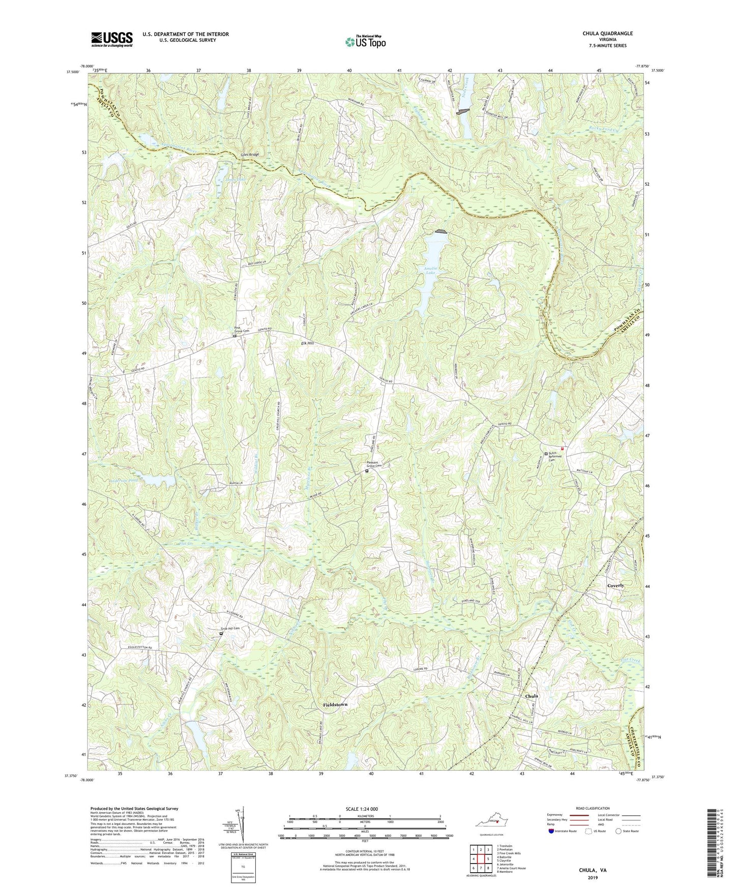
2022 topographic map quadrangle Chula in the state of Virginia. Scale: 1:24000. Based on the newly updated USGS 7.5' US Topo map series, this map is in the following counties: Amelia, Powhatan, Chesterfield. The map contains contour data, water features, and other items you are used to seeing on USGS maps, but also has updated roads and other features. This is the next generation of topographic maps. Printed on high-quality waterproof paper with UV fade-resistant inks.
Quads adjacent to this one:
West: Ballsville
Northwest: Trenholm
North: Powhatan
Northeast: Fine Creek Mills
East: Clayville
Southeast: Mannboro
South: Amelia Court House
Southwest: Jetersville
This map covers the same area as the classic USGS quad with code o37077d8.
Contains the following named places: Amelia Ambulance Service, Amelia County Volunteer Fire Department, Amelia County Volunteer Fire Department Company 4 Mattoax, Amelia Dam, Amelia Lake, Amella Wildlife Management Area, Anderson Pond, Andersons Dam, Barkhouse Branch, Brick Church School, Chula, Coverly, District 2, Elk Hill, Fieldstown, Fighting Creek, Giles Bridge, Giles Mill, Grub Hill Cemetery, Grub Hill Church, Hill Top Airport, Horsepen Branch, Jones Lake, Liberty Church, Masons Corner, Mattoax Cemetery, Mattoax Church, Myrtlene Branch, Neds Creek, Nibbs Creek, Oakmulgee Dairy, Pilgrim Mennonite School, Pine Grove Cemetery, Pine Grove Church, Pleasant Grove Baptist Church, Pleasant Grove Cemetery, Rocky Ford Creek, Sunders Dam, Walker Branch, Whittington Dam, Wildcat Branch