MyTopo
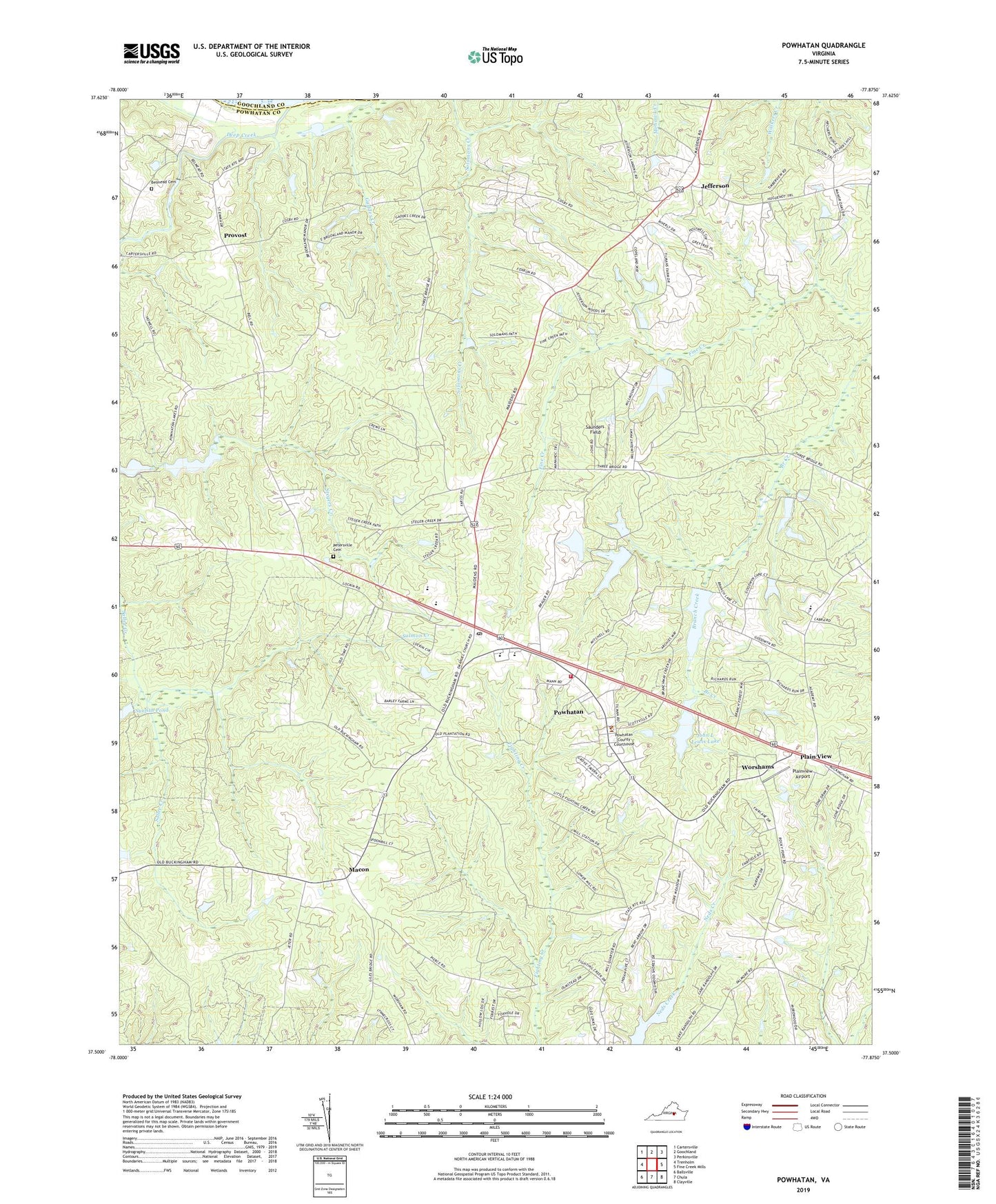
Powhatan Virginia US Topo Map
Couldn't load pickup availability
2022 topographic map quadrangle Powhatan in the state of Virginia. Scale: 1:24000. Based on the newly updated USGS 7.5' US Topo map series, this map is in the following counties: Powhatan, Goochland. The map contains contour data, water features, and other items you are used to seeing on USGS maps, but also has updated roads and other features. This is the next generation of topographic maps. Printed on high-quality waterproof paper with UV fade-resistant inks.
Quads adjacent to this one:
West: Trenholm
Northwest: Cartersville
North: Goochland
Northeast: Perkinsville
East: Fine Creek Mills
Southeast: Clayville
South: Chula
Southwest: Ballsville
This map covers the same area as the classic USGS quad with code o37077e8.
Contains the following named places: Belmead Cemetery, Blessed Sacrament - Huguenot Catholic School, Deep Creek, District 3, District 4, Doggetts Pond, Emmanuel Church, Fighting Creek Farm Airport, Fine Creek Church, Gaddes Creek, Goodwins Store, Hollywood Church, Jefferson, John L Lewis Dam, John L Lewis Lake, Lewiss Dam, Macon, Mill Quarter Dam, New Greenbriar Church, Petersville Cemetery, Pine Hill Church, Plain View, Plainview Airport, Pocahontas Elementary School, Pocahontas Middle School, Powhatan, Powhatan Census Designated Place, Powhatan Church, Powhatan County, Powhatan County Fire Department Administration, Powhatan County Fire Department Company 1 - Powhatan Volunteer Fire Department, Powhatan County School Superintendent Office, Powhatan County Sheriff's Office, Powhatan County Volunteer Rescue Squad, Powhatan Courthouse Historic District, Powhatan Elementary School, Powhatan Junior High School, Powhatan Post Office, Powhatan State Wildlife Management Area, Provost, Randolph Lake, Ransons Dam, Saint Emma Military Academy, Saint Francis De Sales School, Salmon Creek, Saunders Field, Sunfish Pond, Tilmans Dam, Union Branch Church, Upper Powhatan Dam, Upper Powhatan Lake, Vepco Flash Board Dam, Worshams, ZIP Code: 23139


