MyTopo
Free Union Virginia US Topo Map
Couldn't load pickup availability
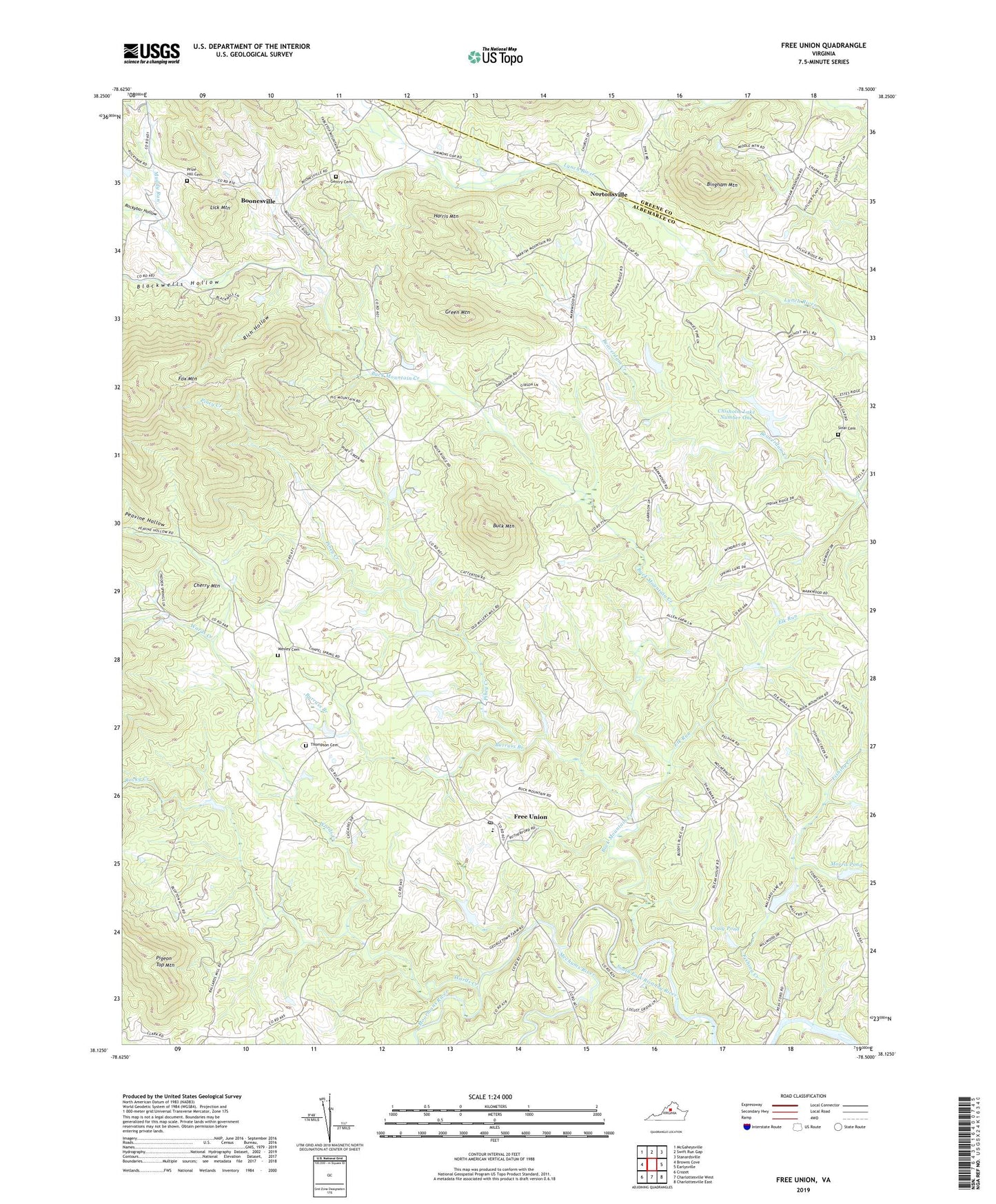
2022 topographic map quadrangle Free Union in the state of Virginia. Scale: 1:24000. Based on the newly updated USGS 7.5' US Topo map series, this map is in the following counties: Albemarle, Greene. The map contains contour data, water features, and other items you are used to seeing on USGS maps, but also has updated roads and other features. This is the next generation of topographic maps. Printed on high-quality waterproof paper with UV fade-resistant inks.
Quads adjacent to this one:
West: Browns Cove
Northwest: McGaheysville
North: Swift Run Gap
Northeast: Stanardsville
East: Earlysville
Southeast: Charlottesville East
South: Charlottesville West
Southwest: Crozet
This map covers the same area as the classic USGS quad with code o38078b5.
Contains the following named places: Bingham Church, Bingham Mountain, Blackwells Hollow, Blue Ridge View, Blueridge Forest, Boonesville, Brinnington, Buck Mountain, Buck Mountain Creek, Burning Daylight Farm, Burruss Branch, Cedarmere, Cherry Mountain, Chisholm Dam Number One, Chisholm Lake Number One, Craig Dam, Craig Pond, Crossroads, Crossroads Church, Davis Shop, Early Grove School, Elk Run, Elliot Wood Church, Fairgrove, Fishing Creek, Flint Hill School, Free Union, Free Union Baptist Church, Free Union Census Designated Place, Free Union Country School, Free Union Post Office, Free Union School, Fry Hill Church, Gentry Church, Gentry School, Gentry United Methodist Church Cemetery, Good Shepherd Church, Green Mountain, Harris Mountain, Hickory Ridge, Kids Run Church, Laughlins Dam, Laughlins Lake, Lick Mountain, Longwood, Lost Valley Tree Farm and Nursery, Mallard Lake, Mechums River, Montvale School, Moormans River, Morris Dam, Morris Pond, Muddy Run, Nortonsville, Patterson Store, Peavine Hollow, Piney Creek, Prize Hill Cemetery, Prize Hill Church, Rich Hollow, Rocky Creek, Rockybar Hollow, Sinai Cemetery, Sinai Church, Springwood, The Homestead, Thompson Family Cemetery, Wards Creek, Wesley Cemetery, Wesley Chapel, Wilhait, Wilhoit School, Wilsdorf Dam, Wilsdorf Pond, Windrift, ZIP Code: 22940


