MyTopo
Pennington Gap Virginia US Topo Map
Couldn't load pickup availability
Also explore the Pennington Gap Forest Service Topo of this same quad for updated USFS data
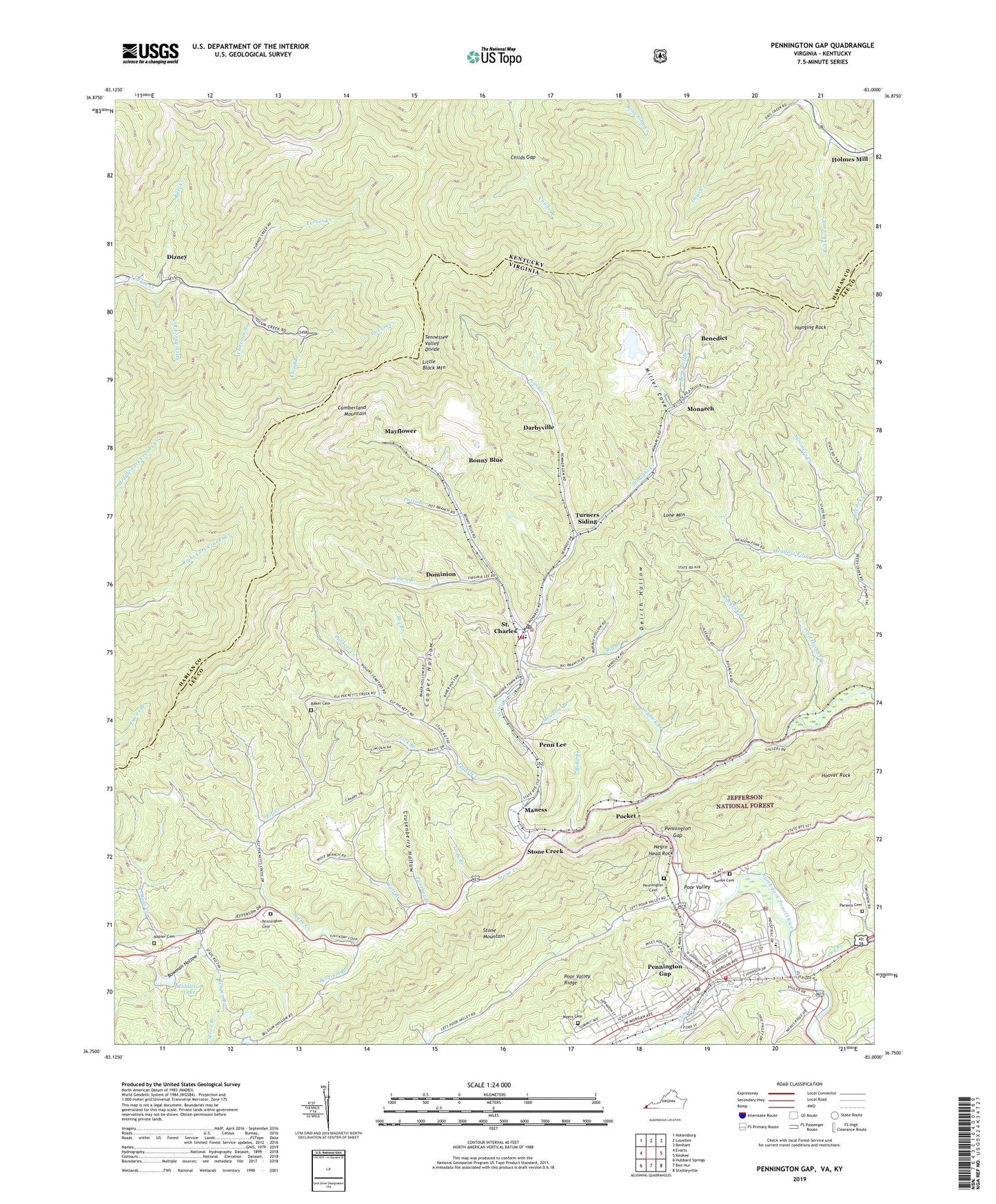
2022 topographic map quadrangle Pennington Gap in the states of Virginia, Kentucky. Scale: 1:24000. Based on the newly updated USGS 7.5' US Topo map series, this map is in the following counties: Lee, Harlan. The map contains contour data, water features, and other items you are used to seeing on USGS maps, but also has updated roads and other features. This is the next generation of topographic maps. Printed on high-quality waterproof paper with UV fade-resistant inks.
Quads adjacent to this one:
West: Evarts
Northwest: Nolansburg
North: Louellen
Northeast: Benham
East: Keokee
Southeast: Stickleyville
South: Ben Hur
Southwest: Hubbard Springs
This map covers the same area as the classic USGS quad with code o36083g1.
Contains the following named places: Baileys Trace, Baker Cemetery, Beech Hill Church, Belcher Chapel, Belgium Branch, Belgium School, Benedict, Benedict Branch, Bergen Branch, Big Branch, Bills Creek, Bobs Branch, Bondurant, Bonny Blue, Bowman Hollow, Bubby Branch, Burhart Chapel, Cane Creek, Childs Gap, Cloud Branch, Cooper Hollow, Crusenberry Hollow, Darbyville, Deirth Hollow, Dizney, Dizney Post Office, Dominion, Dry Branch, Ely Creek, Fawn Branch, First Baptist Church, First Christian Church, First Methodist Church, Gin Creek, Hanging Rock, Holmes Mill, Hoover Rock, Imperial, John Paces Store, Lady Branch, Lee, Lee County Rescue Squad Pennington Gap Unit, Leeman Field, Leona Mines, Lick Branch, Little Black Mountain, Lone Mountain, Maness, Mayflower, Meadow Branch, Meadow Fork, Meadow Fork Church, Meadow Fork School, Middleton Dam, Middleton Lake, Miller Cove, Monarch, Myers Cemetery, Napier Cemetery, Negro Head Rock, Panther Branch, Parsons Cemetery, Penn Lee, Pennington Cemetery, Pennington Gap, Pennington Gap Police Department, Pennington Gap Post Office, Pennington Gap Volunteer Fire Department Station 1, Pennington Middle School, Pennington Station, Pine Grove Church, Pine Grove School, Pine Knob Lookout Tower, Pocket, Poor Valley, Potts Branch, Puckett Creek, Puckett School, River Bend Shopping Center, Rockhouse Creek, Rocklick Branch, Rocklick Church, Rocklick School, Rocky Station District, Saint Charles, Saint Charles Elementary School, Saint Charles Post Office, Saint Charles Volunteer Fire Department, Saint Pious Catholic Church, Sandick Branch, Short Store, Stone Branch, Stone Creek, Straight Creek, Stretchneck Branch, Summers Creek, The Pocket, Town of Pennington Gap, Town of Saint Charles, Turner Cemetery, Turner Creek, Turners Siding, Whiteoak Branch, Wolf Branch, Wolf Harbor Branch, WSWV-AM (Pennington Gap), ZIP Codes: 24282, 40927


