MyTopo
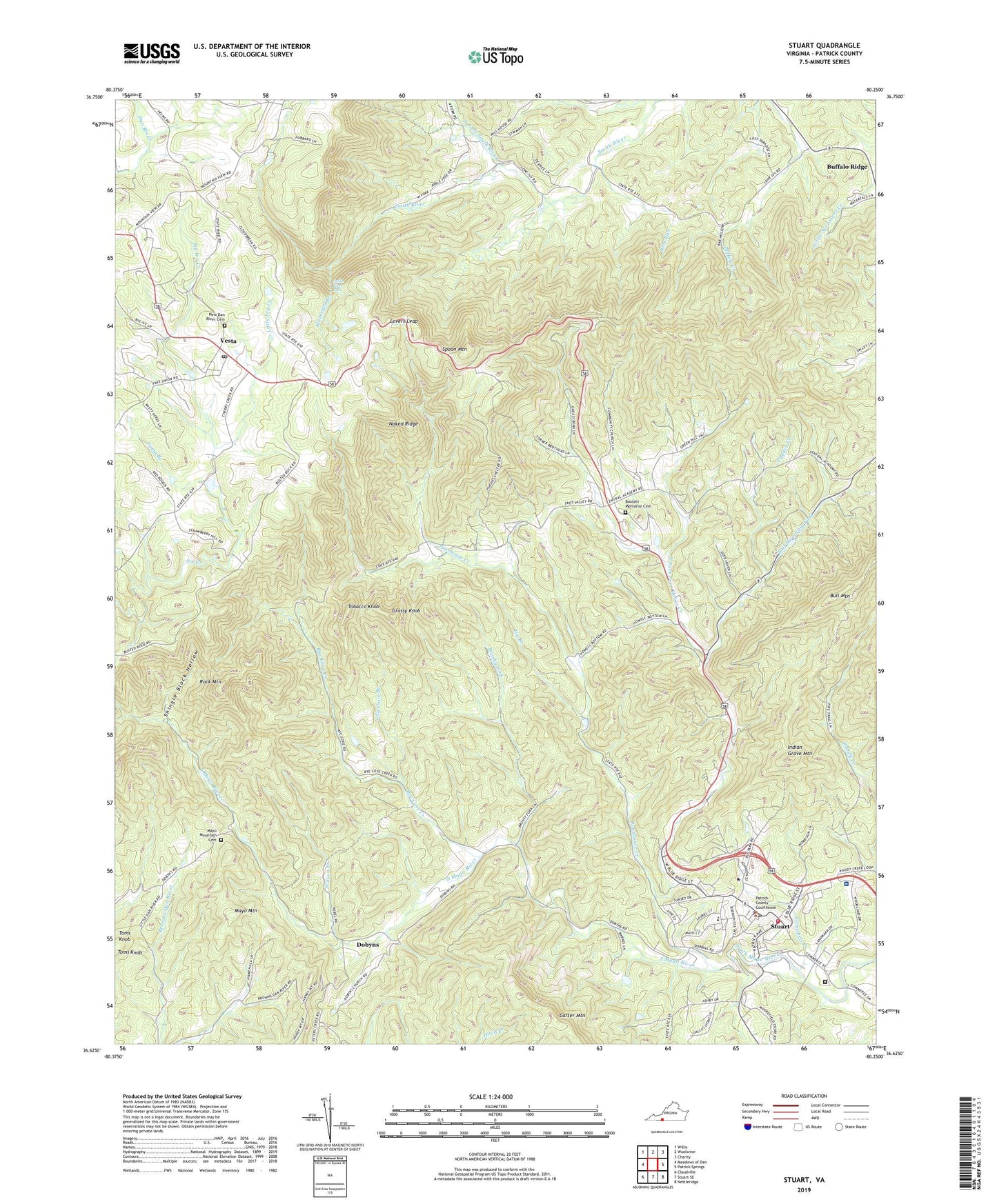
Stuart Virginia US Topo Map
Couldn't load pickup availability
2022 topographic map quadrangle Stuart in the state of Virginia. Scale: 1:24000. Based on the newly updated USGS 7.5' US Topo map series, this map is in the following counties: Patrick. The map contains contour data, water features, and other items you are used to seeing on USGS maps, but also has updated roads and other features. This is the next generation of topographic maps. Printed on high-quality waterproof paper with UV fade-resistant inks.
Quads adjacent to this one:
West: Meadows of Dan
Northwest: Willis
North: Woolwine
Northeast: Charity
East: Patrick Springs
Southeast: Nettleridge
South: Stuart SE
Southwest: Claudville
This map covers the same area as the classic USGS quad with code o36080f3.
Contains the following named places: Big Ivy Creek, Blue Ridge District, Bouldin Memorial Cemetery, Bouldin Memorial Church, Brushy Fork, Bull Mountain Fork, Camp Branch, Campbell Branch, Carter Mountain, Central Academy, Community Church, Cruzes Store, Dan River Church, Dobbins School, Dobyns, Edwardsville School, Grassy Knob, Indian Grave Mountain, Ivy Branch, Lily Cove Branch, Little Ivy Creek, Lone Ivy School, Lovers Leap, Mayo Mountain, Mayo Mountain Cemetery, Mayo Mountain Church, Mitchells Dam, Mount Calvary Church, Naked Ridge, New Dan River Cemetery, New Dan River Church, North Fork Poorhouse Creek, North Fork Smith River, Patrick County, Patrick County Courthouse, Patrick County Jail, Patrick County Sheriff's Office, Patrick Henry Community College, Pioneer Community Hospital, Poorhouse Creek, Puddin Creek, Rich Run, Rock Mountain, Rye Cove Creek, Shingle Block Hollow, Smith River Falls, Spoon Mountain, Stuart, Stuart Elementary School, Stuart Post Office, Stuart Volunteer Fire Department, Tobacco Knob, Toms Knob, Town of Stuart, Vesta, Vesta Post Office, Walker Church, Waterfall Branch, Williams Dam, Wilson Creek, Wood School


