MyTopo
Tazewell South Virginia US Topo Map
Couldn't load pickup availability
Also explore the Tazewell South Forest Service Topo of this same quad for updated USFS data
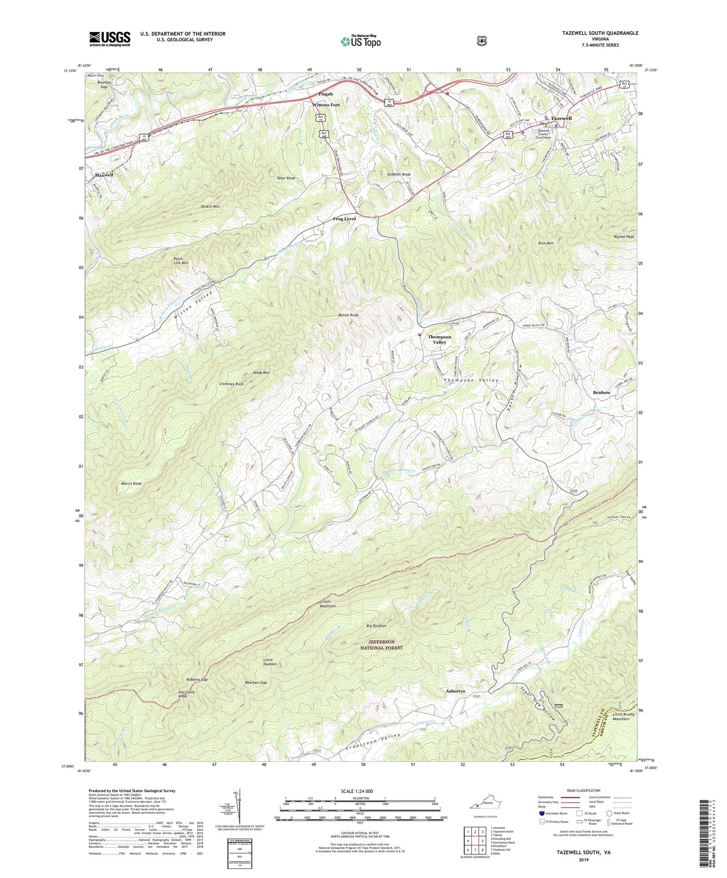
2022 topographic map quadrangle Tazewell South in the state of Virginia. Scale: 1:24000. Based on the newly updated USGS 7.5' US Topo map series, this map is in the following counties: Tazewell, Smyth. The map contains contour data, water features, and other items you are used to seeing on USGS maps, but also has updated roads and other features. This is the next generation of topographic maps. Printed on high-quality waterproof paper with UV fade-resistant inks.
Quads adjacent to this one:
West: Pounding Mill
Northwest: Amonate
North: Tazewell North
Northeast: Tiptop
East: Hutchinson Rock
Southeast: Nebo
South: Chatham Hill
Southwest: Broadford
This map covers the same area as the classic USGS quad with code o37081a5.
Contains the following named places: Alum Branch, Asberrys, Battle Knob, Bearpen Gap, Benbow, Benbow School, Big Doubles, Bundys Chapel, Chimney Rock, Corrells Branch, Criggers, Deskin Mountain, Doubles Branch, Frog Level, Garrisons Knob, Glenwood Church, Gobbler Knob, Gwyns Branch, Knob Mountain, Little Doubles, Locust Branch, Main Street United Methodist Church, Maxwell, Mitchell School, Morris Knob, Mount Gate, Oak Hill Academy, Pisgah, Pisgah School, Pleasant Hill Church, Plum Creek, Poor Valley, Possum Hollow, Pucketts Store, Rhudy School, Robbins Gap, Rourkes Gap, Shadle Branch, Shinawl Branch, Southern District, Southwest Virginia Regional Jail Authority - Tazewell Facility, Sugar Tree Hollow, Tater Knob, Tazewell, Tazewell Christian Church, Tazewell County, Tazewell County Administration Building, Tazewell County Fire Department and Rescue Squad, Tazewell County Public Library, Tazewell County Sheriff's Office, Tazewell Police Department, Tazewell Post Office, Tazewell Volunteer Fire Department, Thompson Valley, Thompson Valley Church, Thompson Valley Elementary School, Thompson Valley Volunteer Fire Department and Rescue Squad, Wesley Chapel, West Fork Plum Creek, White Oak Branch, Witten Valley, Wittens Fort, WTZE-AM (Tazewell), Youngs, ZIP Codes: 24377, 24651


