MyTopo
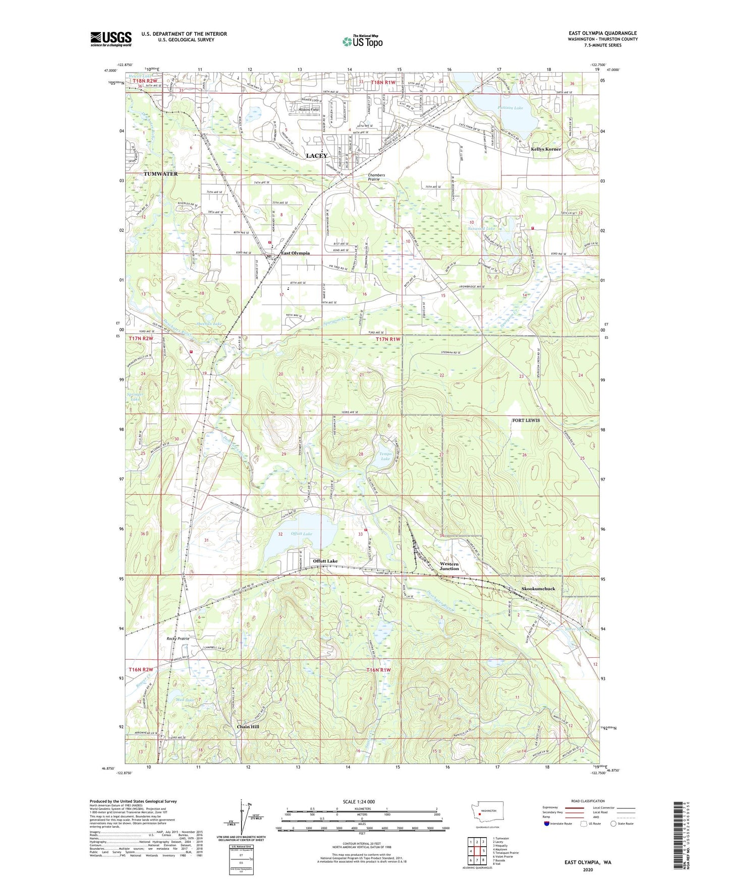
East Olympia Washington US Topo Map
Couldn't load pickup availability
2023 topographic map quadrangle East Olympia in the state of Washington. Scale: 1:24000. Based on the newly updated USGS 7.5' US Topo map series, this map is in the following counties: Thurston. The map contains contour data, water features, and other items you are used to seeing on USGS maps, but also has updated roads and other features. This is the next generation of topographic maps. Printed on high-quality waterproof paper with UV fade-resistant inks.
Quads adjacent to this one:
West: Maytown
Northwest: Tumwater
North: Lacey
Northeast: Nisqually
East: Tenalquot Prairie
Southeast: Vail
South: Bucoda
Southwest: Violet Prairie
This map covers the same area as the classic USGS quad with code o46122h7.
Contains the following named places: Capitol City Golf Club, Chain Hill, Chambers Prairie, East Olympia, East Olympia Elementary School, East Olympia Post Office, Fir Tree, Flying Carpet Airport, Hoskins Field, Kari Field, Kellys Korner, Mud Lake, Offutt Lake, Olympia Waldorf School, Pattison Lake, Plumb, Puget Sound High School, Rocky Prairie, Segale, Sheehan Lake, Silver Spring, Skookumchuck, Spurgeon Creek, Sunwood Lake, Tempo Lake, Tempo Lake Dam, Thurston County, Thurston County Fire District 6 East Olympia Fire District Station 61 Headquarters, Thurston County Fire District 6 East Olympia Fire District Station 62, Thurston County Fire District 6 East Olympia Fire District Station 64, Thurston County Fire District 6 East Olympia Fire District Station 65, Western Junction


