MyTopo
Ellisforde Washington US Topo Map
Couldn't load pickup availability
Also explore the Ellisforde Forest Service Topo of this same quad for updated USFS data
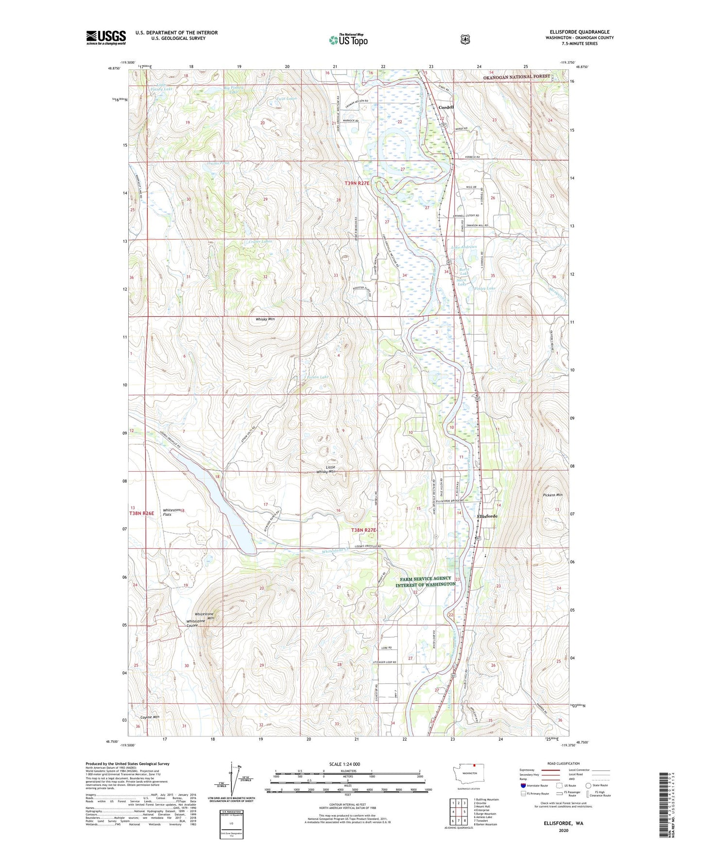
2023 topographic map quadrangle Ellisforde in the state of Washington. Scale: 1:24000. Based on the newly updated USGS 7.5' US Topo map series, this map is in the following counties: Okanogan. The map contains contour data, water features, and other items you are used to seeing on USGS maps, but also has updated roads and other features. This is the next generation of topographic maps. Printed on high-quality waterproof paper with UV fade-resistant inks.
Quads adjacent to this one:
West: Enterprise
Northwest: Bullfrog Mountain
North: Oroville
Northeast: Mount Hull
East: Burge Mountain
Southeast: Barker Mountain
South: Tonasket
Southwest: Aeneas Lake
This map covers the same area as the classic USGS quad with code o48119g4.
Contains the following named places: Antoine Creek, Big Finney Lake, Borst Lake, Cordell, Crater Lakes, Ellisforde, Ellisforde Church of the Brethren, Finley Lake, Horseshoe Lake, Irwins Pond, Kingdom Hall of Jehovahs Witnesses, Lake Andrews, Little Finney Lake, Little Whisky Mountain, Lucky Knock Mine, Mosquito Creek, Peaceful Valley Christian School, Pickens Mountain, Poison Lake, Stern Lake, Twin Lakes, Whisky Mountain, Whitestone Creek, Whitestone Flats, Whitestone Lake, Whitestone Lake Dam, Whitestone Mountain