MyTopo
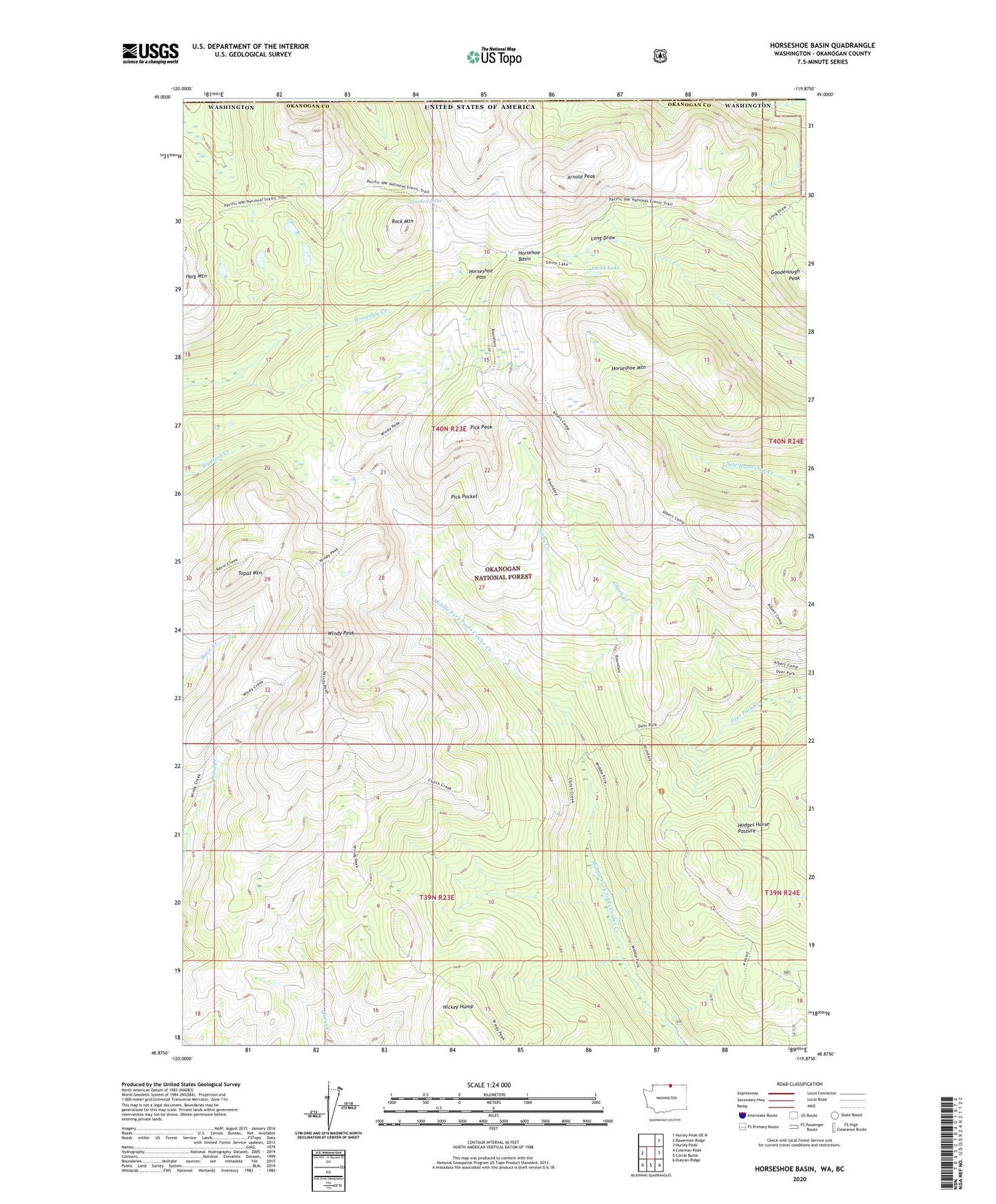
Horseshoe Basin Washington US Topo Map
Couldn't load pickup availability
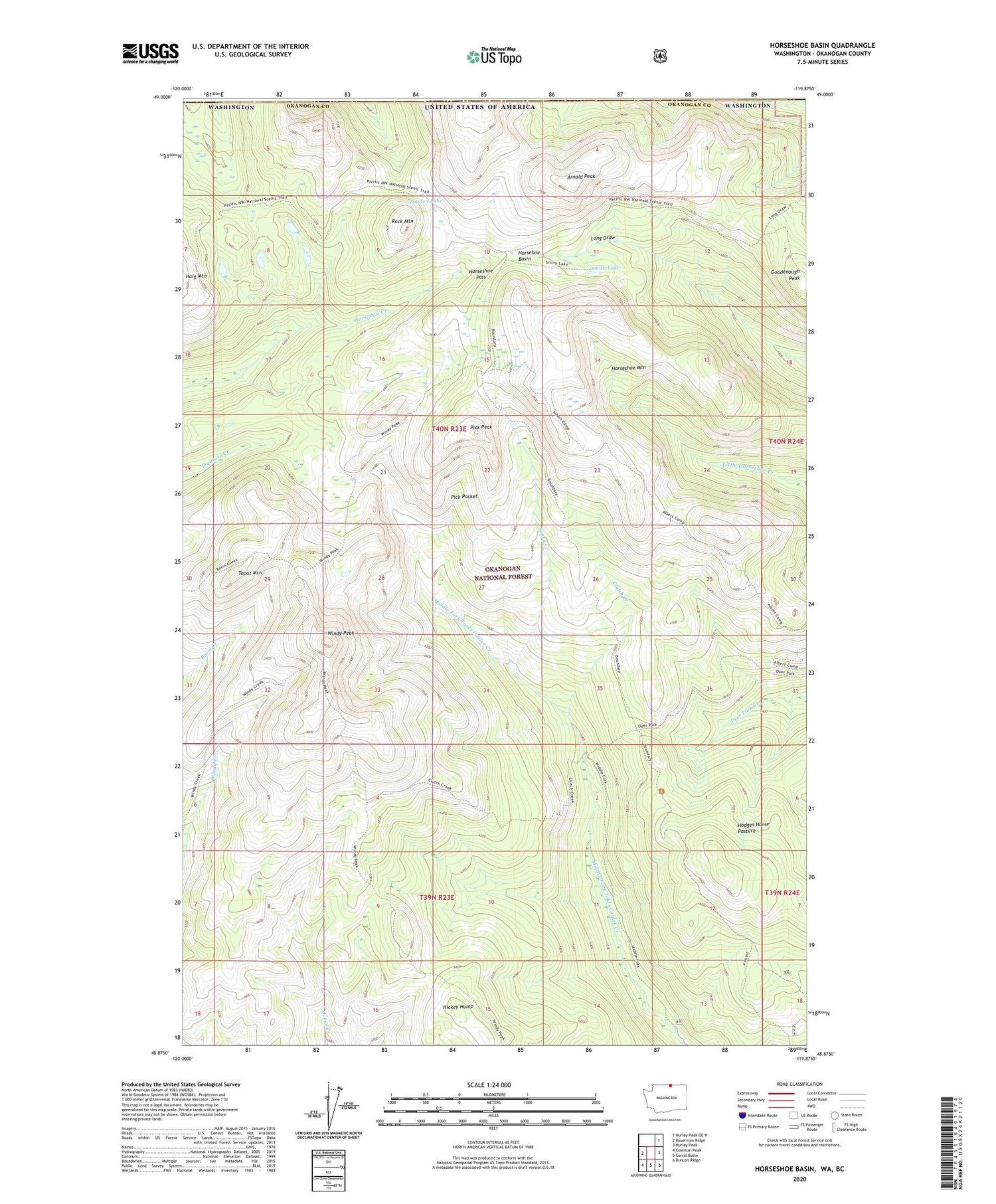
Also explore the Horseshoe Basin Forest Service Topo of this same quad for updated USFS data
2023 topographic map quadrangle Horseshoe Basin in the state of Washington. Scale: 1:24000. Based on the newly updated USGS 7.5' US Topo map series, this map is in the following counties: Okanogan. The map contains contour data, water features, and other items you are used to seeing on USGS maps, but also has updated roads and other features. This is the next generation of topographic maps. Printed on high-quality waterproof paper with UV fade-resistant inks.
Quads adjacent to this one:
West: Bauerman Ridge
Northeast: Hurley Peak OE N
East: Hurley Peak
Southeast: Duncan Ridge
South: Corral Butte
Southwest: Coleman Peak
This map covers the same area as the classic USGS quad with code o48119h8.
Contains the following named places: Albert Camp, Albert Camp Trail, Arnold Peak, Clutch Creek, Clutch Trail, Cougar Camp, Coyote Camp, Deer Park, Deer Park Trail, Four Point Trail, Goodenough Peak, Hickey Hump, Hodges Horse Pasture, Horsehoe Basin, Horseshoe Mountain, Horseshoe Pass, Iron Gate Campground, Lone Wolf Camp, Long Draw Trail, Louden Lake, Midway Camp, Pick Peak, Pick Pocket, Rock Mountain, Smith Lake, Sunny Camp, Sunny Creek, Topaz Mountain, Windy Peak, Windy Trail