MyTopo
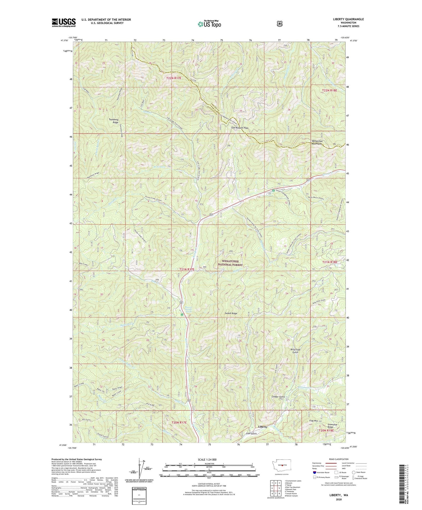
Liberty Washington US Topo Map
Couldn't load pickup availability
Also explore the Liberty Forest Service Topo of this same quad for updated USFS data
2023 topographic map quadrangle Liberty in the state of Washington. Scale: 1:24000. Based on the newly updated USGS 7.5' US Topo map series, this map is in the following counties: Kittitas, Chelan. The map contains contour data, water features, and other items you are used to seeing on USGS maps, but also has updated roads and other features. This is the next generation of topographic maps. Printed on high-quality waterproof paper with UV fade-resistant inks.
Quads adjacent to this one:
West: Red Top Mountain
Northwest: Enchantment Lakes
North: Blewett
Northeast: Tiptop
East: Blewett Pass
Southeast: Reecer Canyon
South: Swauk Prairie
Southwest: Teanaway
This map covers the same area as the classic USGS quad with code o47120c6.
Contains the following named places: Baker Creek, Baker Creek Campground, Billy Goat Gulch, Blewett Summit Trail, Blue Creek, Boulder Creek, Cougar Gulch, Durst Creek, Flag Mountain, Hovey Creek, Hurley Creek, Iron Bear Creek Trail, Iron Creek, Liberty, Liberty National Historic District, Lion Gulch, Medicine Creek, Mineral Springs Campground, Mineral Springs Resort, Mountain Home, North Fork Baker Creek, Old Blewett Pass, Park Campground, Swauk Campground, Swauk Lodge, Wash Green Sandstone Quarry, West Fork Creek