MyTopo
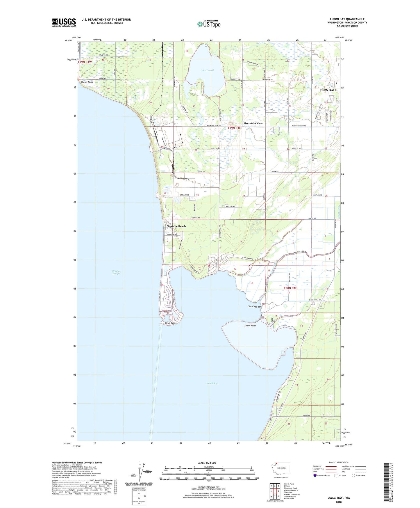
Lummi Bay Washington US Topo Map
Couldn't load pickup availability
2023 topographic map quadrangle Lummi Bay in the state of Washington. Scale: 1:24000. Based on the newly updated USGS 7.5' US Topo map series, this map is in the following counties: Whatcom. The map contains contour data, water features, and other items you are used to seeing on USGS maps, but also has updated roads and other features. This is the next generation of topographic maps. Printed on high-quality waterproof paper with UV fade-resistant inks.
Quads adjacent to this one:
West: Lummi Bay OE W
Northwest: Birch Point
North: Blaine
Northeast: Bertrand Creek
East: Ferndale
Southeast: Eliza Island
South: Lummi Island
Southwest: Mount Constitution
This map covers the same area as the classic USGS quad with code o48122g6.
Contains the following named places: Blomquist Dairy, Cha-Choo-Sen, Cherry Point, Cherry Point Quarry, Conoco Phillips Ferndale Refinery, Cornerstone Community Church, Horizon Middle School, Intalco Beach Landfill, Lake Terrell, Lummi Bay, Lummi Bay Sea Ponds, Lummi Flats, Lummi Indian Business Council Sandy Point Wastewater Treatment Plant, Lummi Reservation, Lummi Reservation Division, Lummi River, Mountain View, Neptune Beach, Sandy Point, Sandy Point Golf Course, Sandy Point Marina, Sandy Point Shores, Terrell Lake Dam, Whatcom County Fire District 17 Sandy Point, Whatcom County Fire District 17 Sandy Point Heights


