MyTopo
Sacheen Lake Washington US Topo Map
Couldn't load pickup availability
Also explore the Sacheen Lake Forest Service Topo of this same quad for updated USFS data
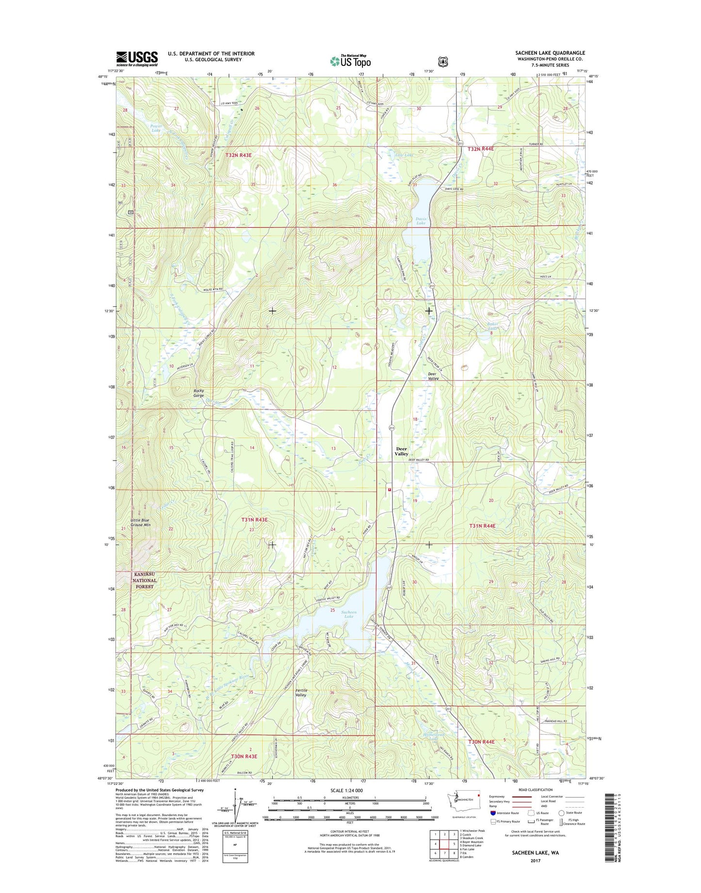
2023 topographic map quadrangle Sacheen Lake in the state of Washington. Scale: 1:24000. Based on the newly updated USGS 7.5' US Topo map series, this map is in the following counties: Pend Oreille. The map contains contour data, water features, and other items you are used to seeing on USGS maps, but also has updated roads and other features. This is the next generation of topographic maps. Printed on high-quality waterproof paper with UV fade-resistant inks.
Quads adjacent to this one:
West: Boyer Mountain
Northwest: Winchester Peak
North: Cusick
Northeast: Skookum Creek
East: Diamond Lake
Southeast: Camden
South: Elk
Southwest: Fan Lake
This map covers the same area as the classic USGS quad with code o48117b3.
Contains the following named places: Baker Lake, Baker Lake Dam, Camp Spaulding, Cedar Creek, Davis Lake, Davis Lake Dam, Deer Creek, Deer Valley, Homestead Lake, Homestead Lake Dam, Law Lake, Little Blue Grouse Mountain, Little Spokane River Dam, Moon Creek, North Fork Calispell Creek, Power Lake, Power Lake Dam, Rocky Gorge, Sacheen Lake, South Fork Calispell Creek, South Pend Oreille Fire and Rescue Station 32 - Sacheen Lake