MyTopo
Vail Washington US Topo Map
Couldn't load pickup availability
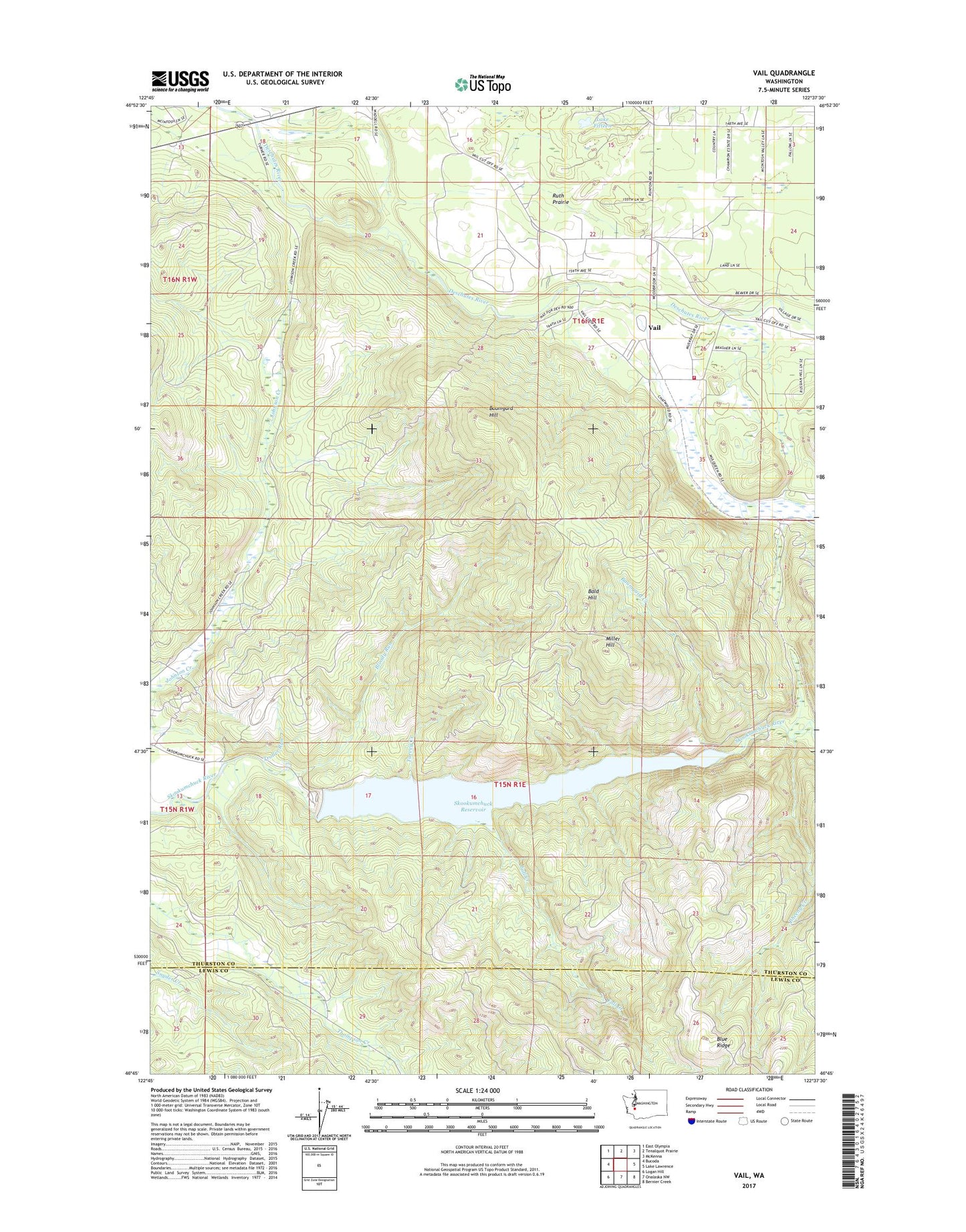
2020 topographic map quadrangle Vail in the state of Washington. Scale: 1:24000. Based on the newly updated USGS 7.5' US Topo map series, this map is in the following counties: Thurston, Lewis. The map contains contour data, water features, and other items you are used to seeing on USGS maps, but also has updated roads and other features. This is the next generation of topographic maps. Printed on high-quality waterproof paper with UV fade-resistant inks.
Quads adjacent to this one:
West: Bucoda
Northwest: East Olympia
North: Tenalquot Prairie
Northeast: McKenna
East: Lake Lawrence
Southeast: Bernier Creek
South: Onalaska NW
Southwest: Logan Hill
Contains the following named places: Bald Hill, Baumgard Creek, Baumgard Hill, Bloody Run, Blue Ridge, Fall Creek, Lake Fifteen, Miller Hill, Pheeny Creek, Ruth Prairie, Skookumchuck Dam, Skookumchuck Reservoir, Southeast Thurston Fire Authority Station 26 Vail Road, Sundown Ranch, Troller Run, Turvey Creek, Vail, Wetica, ZIP Code: 98576