MyTopo
Green Bank West Virginia US Topo Map
Couldn't load pickup availability
Also explore the Green Bank Forest Service Topo of this same quad for updated USFS data
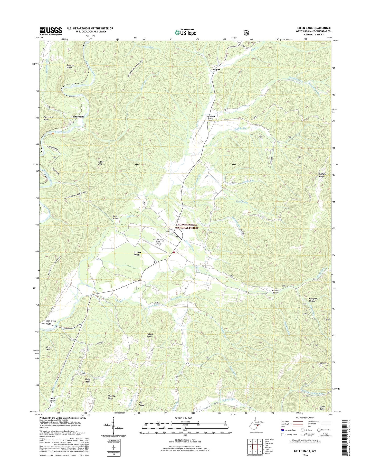
2023 topographic map quadrangle Green Bank in the state of West Virginia. Scale: 1:24000. Based on the newly updated USGS 7.5' US Topo map series, this map is in the following counties: Pocahontas. The map contains contour data, water features, and other items you are used to seeing on USGS maps, but also has updated roads and other features. This is the next generation of topographic maps. Printed on high-quality waterproof paper with UV fade-resistant inks.
Quads adjacent to this one:
West: Cass
Northwest: Snyder Knob
North: Durbin
Northeast: Thornwood
East: Hightown
Southeast: Mustoe
South: Paddy Knob
Southwest: Clover Lick
This map covers the same area as the classic USGS quad with code o38079d7.
Contains the following named places: Allegheny Run, Arbovale, Arbovale Cemetery, Arbovale Census Designated Place, Arbovale Post Office, Arbovale United Methodist Church, Asbury Knob, Back Draft, Bartow - Frank - Durbin Fire and Rescue 2, Bearpen Hollow, Big Ridge, Bowman Ridge, Boyer, Boyer School, Buffalo Ridge, Buffalo Ridge School, Buffalo Run, Cooper Run, Deer Creek Farm Airport, Deer Creek Union Church, Deer Creek Valley, Duncan Run, Green Bank, Green Bank Census Designated Place, Green Bank Elementary - Middle School, Green Bank Observatory Airport, Green Bank Post Office, Green Bank Public Library, Green Bank United Methodist Church, Hamilton Hollow, Hamilton Run, Hevener Church, Hospital Run, Hosterman, Kerr Memorial Church, Kerr School, Lambs Run, Lamp of Youth Christian Academy, Laurel Run, Liberty Church, Little Mountain, Little Mountain Trail, Millstone Run, National Radio Astronomy Observatory, North Fork, North Fork School, Oak Grove School, Oak Hill School, Old House Knob, Pine Grove Church, Pine Grove School, Riley Run, Rosen Run, Salisbury School, Saulsbury Run, Shingleblock Run, Slavin Hollow, Smith Hollow, Sugar Run, Sutton Run, Tacker Fork, Trimble Run, Upper Mountain, ZIP Codes: 24915, 24944


