MyTopo
Hatfield NE Wisconsin US Topo Map
Couldn't load pickup availability
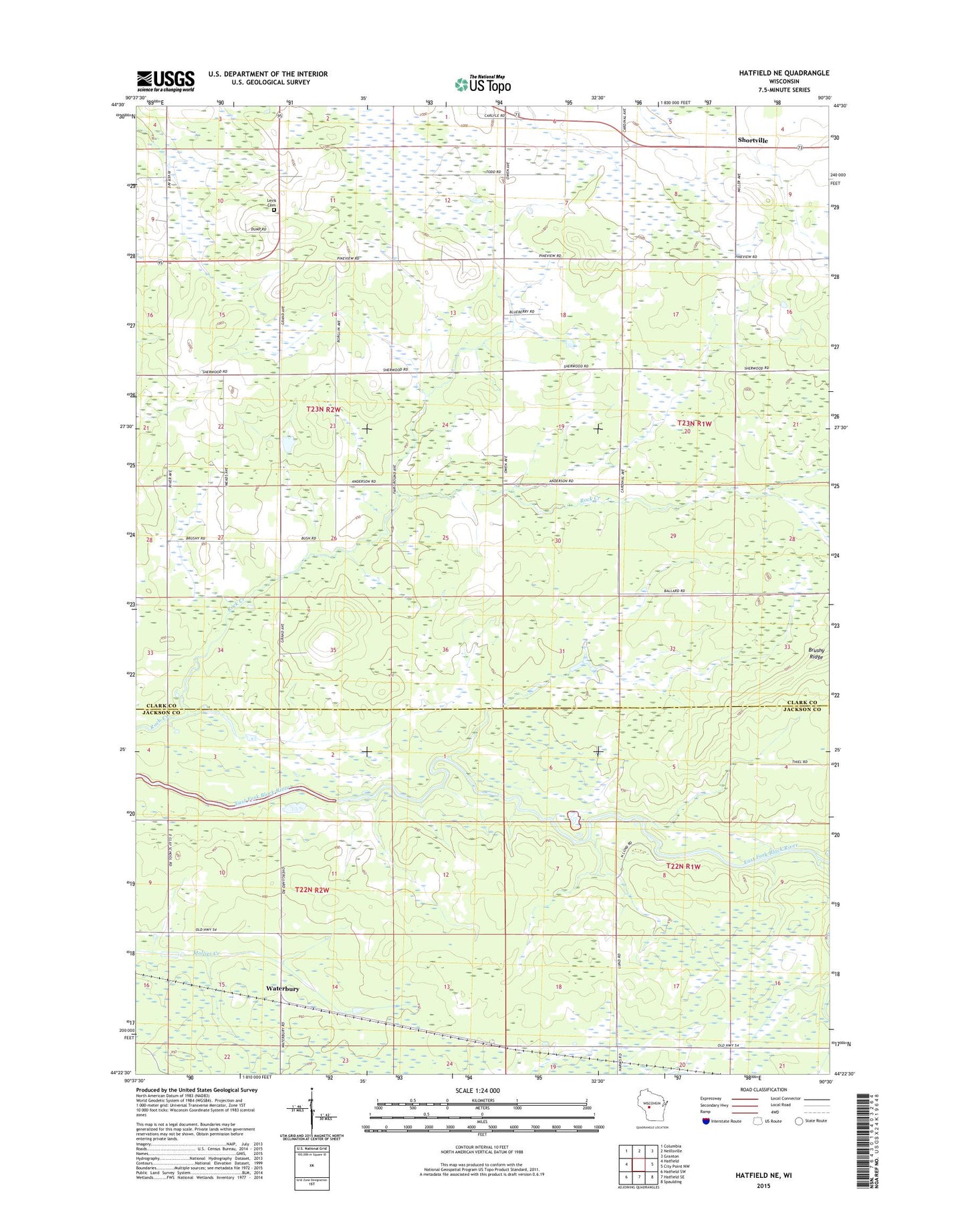
2022 topographic map quadrangle Hatfield NE in the state of Wisconsin. Scale: 1:24000. Based on the newly updated USGS 7.5' US Topo map series, this map is in the following counties: Clark, Jackson. The map contains contour data, water features, and other items you are used to seeing on USGS maps, but also has updated roads and other features. This is the next generation of topographic maps. Printed on high-quality waterproof paper with UV fade-resistant inks.
Quads adjacent to this one:
West: Hatfield
Northwest: Columbia
North: Neillsville
Northeast: Granton
East: City Point NW
Southeast: Spaulding
South: Hatfield SE
Southwest: Hatfield SW
This map covers the same area as the classic USGS quad with code o44090d5.
Contains the following named places: Brushy Ridge, Carlyle School, Levis Cemetery, Meadow View School, Shortville, South Washburn School, Town of Levis, Waterbury