MyTopo
Clarks Mills Wisconsin US Topo Map
Couldn't load pickup availability
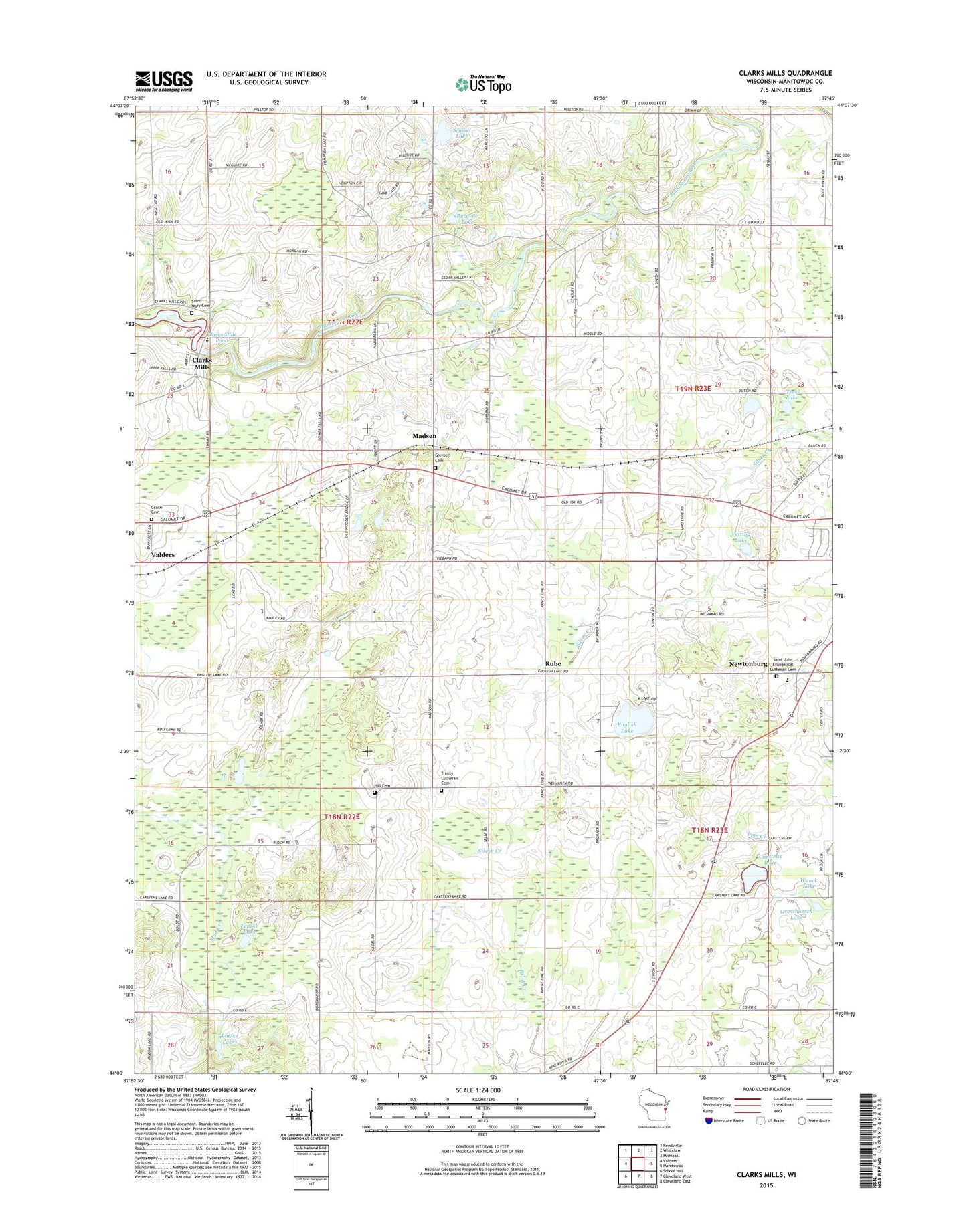
2022 topographic map quadrangle Clarks Mills in the state of Wisconsin. Scale: 1:24000. Based on the newly updated USGS 7.5' US Topo map series, this map is in the following counties: Manitowoc. The map contains contour data, water features, and other items you are used to seeing on USGS maps, but also has updated roads and other features. This is the next generation of topographic maps. Printed on high-quality waterproof paper with UV fade-resistant inks.
Quads adjacent to this one:
West: Valders
Northwest: Reedsville
North: Whitelaw
Northeast: Mishicot
East: Manitowoc
Southeast: Cleveland East
South: Cleveland West
Southwest: School Hill
This map covers the same area as the classic USGS quad with code o44087a7.
Contains the following named places: Bergene Lake, Blue Royal Dairy, Boldt Dairy Farm, Carstens Lake, Clarks Mill Dam, Clarks Mills, Clarks Mills Census Designated Place, Clarks Mills Pond, Condale Acres, Country Memories Farm, Double H Farms, Dvorachek Veal Farm, Elm Grove School, English Lake, Ewald Dairy Farm, Fenske Lake, Gjerpen Cemetery, Grace Cemetery, Grace Church, Grosshuesch Lake, Grosshuph Farm, Hill Cemetery, Hillside School, Hy Point Farm, Hyland Dairy, Jersey Hill Farm, Liberty Vall Dairy, Lower Cato Falls County Park, Lutzke Lakes, Madsen, Madsen School, Newtonburg, Oslo Dam, Pine Lawn Farms, Pine River Dairy, Pinecrest Historical Village, Roselawn Farm, Roselawn School, Rube, Saint John's Lutheran Cemetery, Saint Johns Lutheran School, Saint Mary - Saint Michael School, Saint Mary Cemetery, Saint Marys Church, Satoris Farms, Schisel Lake, Shade Spruce Farms, Shadyside School, South Lutzke Lake, Sperber Elk Farms, Teek Lake, Town of Cato, Town of Liberty, Town of Manitowoc Rapids, Trinity Lutheran Cemetery, Trinity Lutheran Church, Trinity Lutheran School, Triple Maple Dairy, Twin Elm Farm, Vetting Lake, Vogel Family Farms, Waack Lake, Webster School, Willow Mist Farm


