MyTopo
Colburn Wisconsin US Topo Map
Couldn't load pickup availability
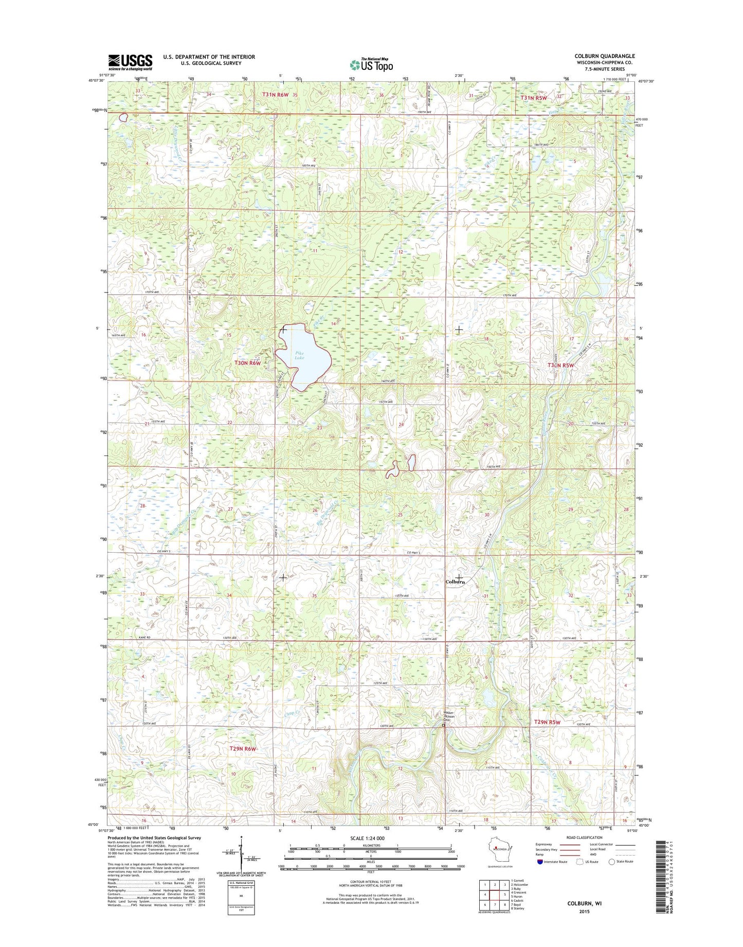
2018 topographic map quadrangle Colburn in the state of Wisconsin. Scale: 1:24000. Based on the newly updated USGS 7.5' US Topo map series, this map is in the following counties: Chippewa. The map contains contour data, water features, and other items you are used to seeing on USGS maps, but also has updated roads and other features. This is the next generation of topographic maps. Printed on high-quality waterproof paper with UV fade-resistant inks.
Quads adjacent to this one:
West: Crescent
Northwest: Cornell
North: Holcombe
Northeast: Ruby
East: Huron
Southeast: Stanley
South: Boyd
Southwest: Cadott
Contains the following named places: Big Drywood School, Chap School, Colburn, Coldwater Creek, East River School, Excelsior School, Hay Creek, New School, Otter Creek, Pike Creek, Pike Lake, Pike Lake School, Shakal Farm, Walker - Jackson Cemetery, White Pine School