MyTopo
Corinth Wisconsin US Topo Map
Couldn't load pickup availability
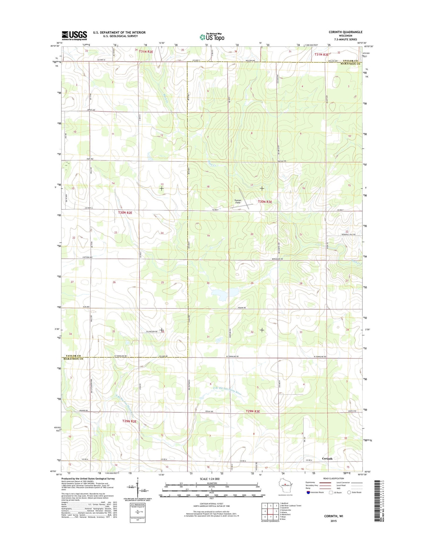
2022 topographic map quadrangle Corinth in the state of Wisconsin. Scale: 1:24000. Based on the newly updated USGS 7.5' US Topo map series, this map is in the following counties: Marathon, Taylor. The map contains contour data, water features, and other items you are used to seeing on USGS maps, but also has updated roads and other features. This is the next generation of topographic maps. Printed on high-quality waterproof paper with UV fade-resistant inks.
Quads adjacent to this one:
West: Stetsonville
Northwest: Medford
North: Rib River Lookout Tower
Northeast: Goodrich
East: Athens
Southeast: Wien
South: Milan
Southwest: Abbotsford
This map covers the same area as the classic USGS quad with code o45090a2.
Contains the following named places: 9 Reservoir, Barry School, Bern State Public Hunting Grounds, Bern Townhall, Black Creek 3WR130 Dam, Brueckerville School, Corinth, Corinth School, Flat Meadow School, Gad School, Green Acre School, Gunner Field, Hein's Fish Farm, Johnson Townhall, Kreie School, Miltrim Farms, Schreiner Farms, Town of Bern, Van Buren School, Washington School, Whiton School