MyTopo
Dunbar NE Wisconsin US Topo Map
Couldn't load pickup availability
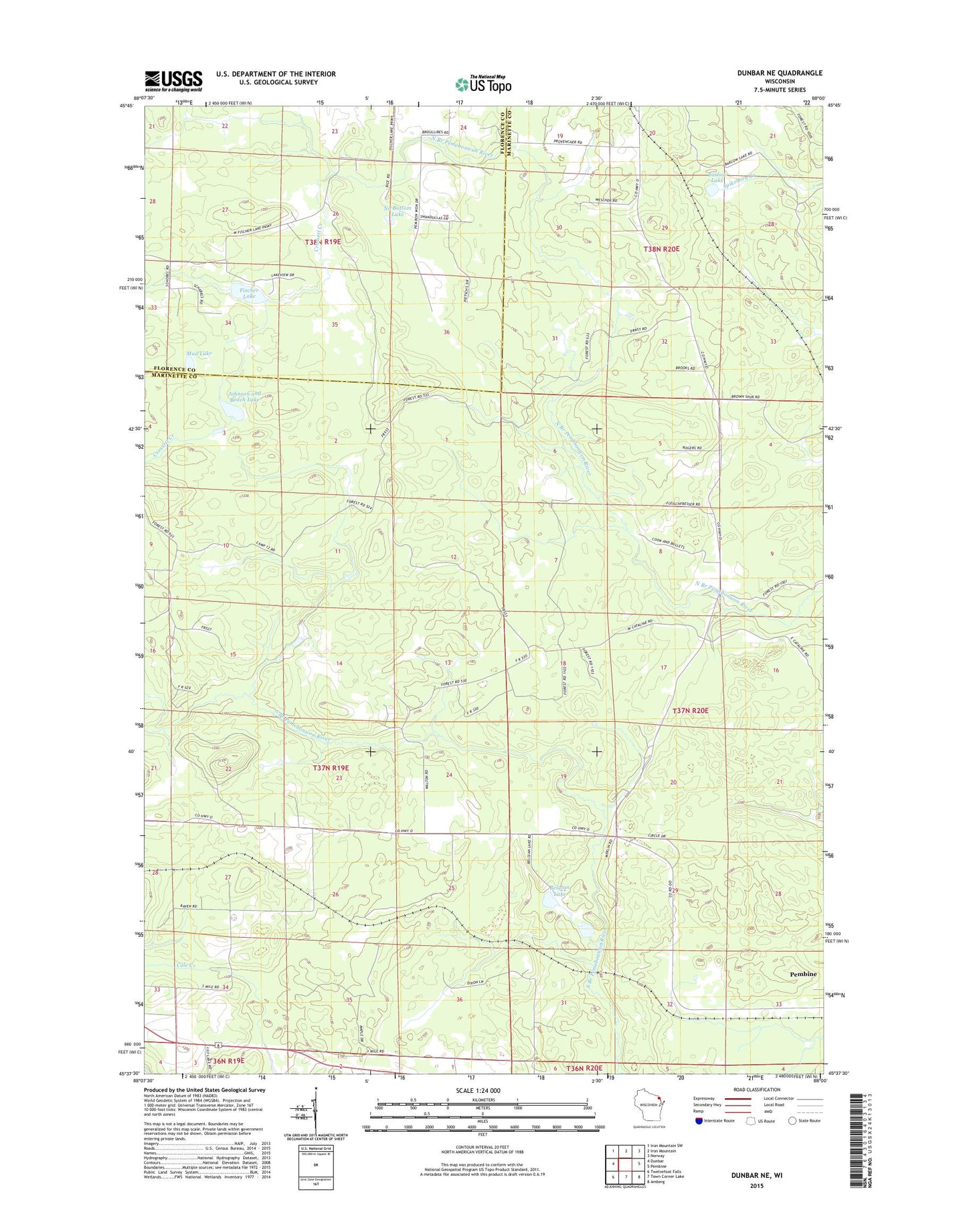
2022 topographic map quadrangle Dunbar NE in the state of Wisconsin. Scale: 1:24000. Based on the newly updated USGS 7.5' US Topo map series, this map is in the following counties: Marinette, Florence. The map contains contour data, water features, and other items you are used to seeing on USGS maps, but also has updated roads and other features. This is the next generation of topographic maps. Printed on high-quality waterproof paper with UV fade-resistant inks.
Quads adjacent to this one:
West: Dunbar
Northwest: Iron Mountain SW
North: Iron Mountain
Northeast: Norway
East: Pembine
Southeast: Amberg
South: Town Corner Lake
Southwest: Twelvefoot Falls
This map covers the same area as the classic USGS quad with code o45088f1.
Contains the following named places: Barlow Lake, Belgian Lake, Crossett Creek, Dunbar Lookout Tower, Fischer Lake, Johnson and Beach Lake, Mud Lake, No Bottom Lake, Spring Valley School, Summit School, ZIP Code: 54156