MyTopo
Twelvefoot Falls Wisconsin US Topo Map
Couldn't load pickup availability
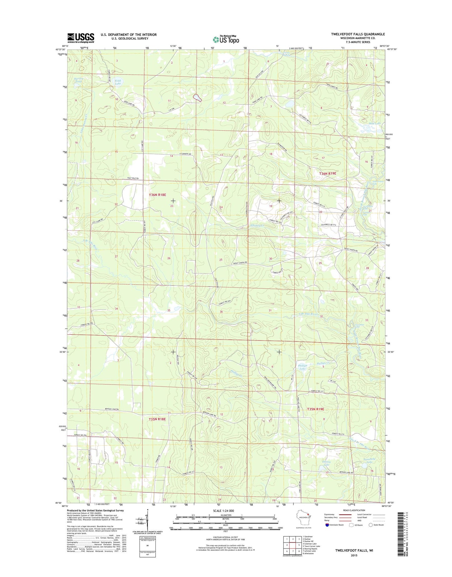
2022 topographic map quadrangle Twelvefoot Falls in the state of Wisconsin. Scale: 1:24000. Based on the newly updated USGS 7.5' US Topo map series, this map is in the following counties: Marinette. The map contains contour data, water features, and other items you are used to seeing on USGS maps, but also has updated roads and other features. This is the next generation of topographic maps. Printed on high-quality waterproof paper with UV fade-resistant inks.
Quads adjacent to this one:
West: Coleman Lake
Northwest: Goodman
North: Dunbar
Northeast: Dunbar NE
East: Town Corner Lake
Southeast: Athelstane
South: Lehman Lake
Southwest: Roaring Rapids
This map covers the same area as the classic USGS quad with code o45088e2.
Contains the following named places: Annabelle Lake, Carney Rapids, Disney Lake, Eighteenfoot Falls, Eightfoot Falls, Harvey Pond, Horseshoe Falls, Kidd Lake, Mud Lake, Phillips Creek, Phillips Lake, Twelvefoot Falls, Twelvefoot Falls County Park, Woodrow School, ZIP Code: 54119