MyTopo
Dunbar Wisconsin US Topo Map
Couldn't load pickup availability
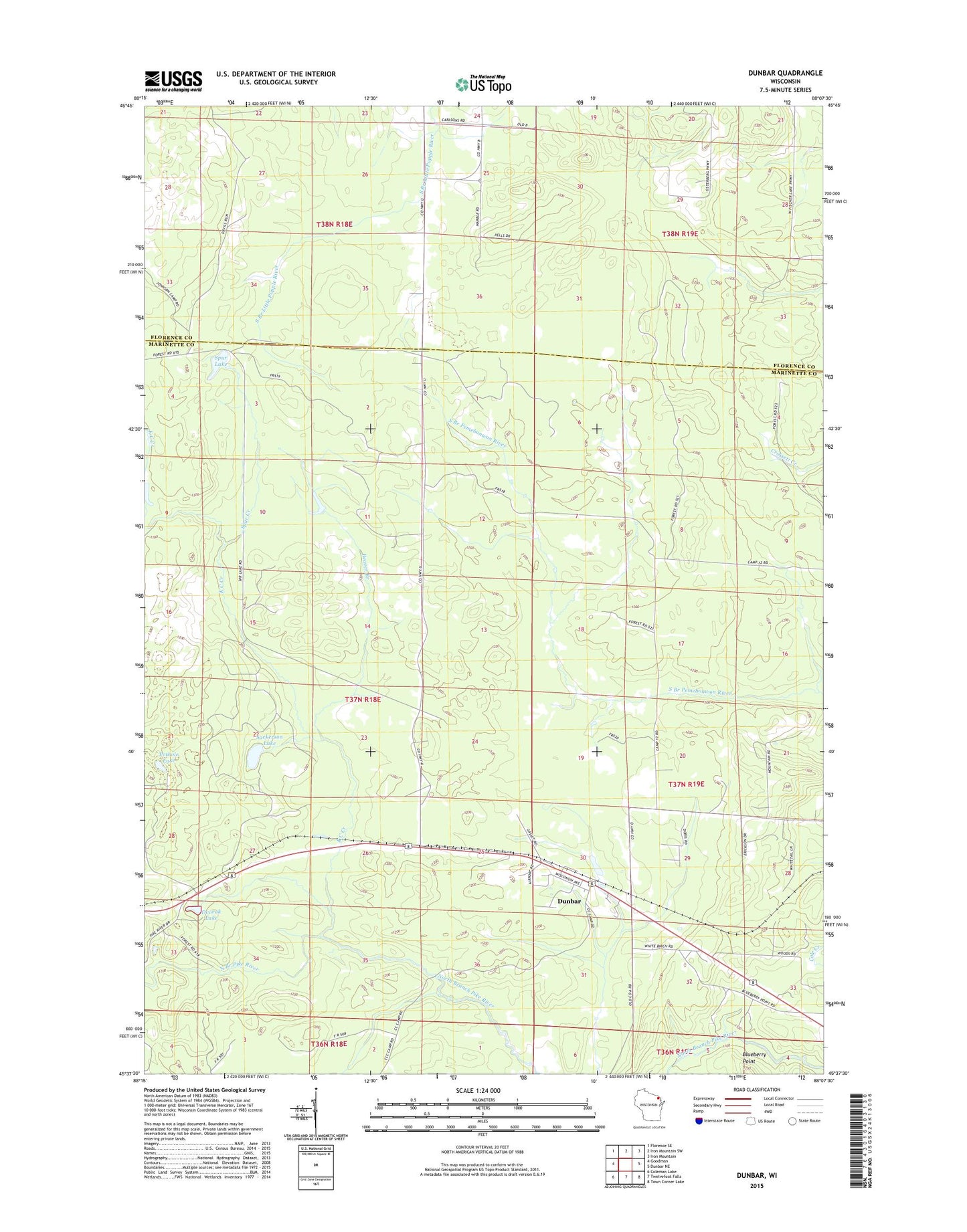
2018 topographic map quadrangle Dunbar in the state of Wisconsin. Scale: 1:24000. Based on the newly updated USGS 7.5' US Topo map series, this map is in the following counties: Marinette, Florence. The map contains contour data, water features, and other items you are used to seeing on USGS maps, but also has updated roads and other features. This is the next generation of topographic maps. Printed on high-quality waterproof paper with UV fade-resistant inks.
Quads adjacent to this one:
West: Goodman
Northwest: Florence SE
North: Iron Mountain SW
Northeast: Iron Mountain
East: Dunbar NE
Southeast: Town Corner Lake
South: Twelvefoot Falls
Southwest: Coleman Lake
Contains the following named places: Beaver Branch, Blueberry Point, Dunbar, Dunbar Airport, Dunbar Census Designated Place, Dvorak Lake, Fischer Lake School, K C Creek, McKinley School, Pothole Lake, Sackerson Lake, Spur Creek, Spur Lake, Town of Dunbar