MyTopo
Fredenberg Lake Wisconsin US Topo Map
Couldn't load pickup availability
Also explore the Fredenberg Lake Forest Service Topo of this same quad for updated USFS data
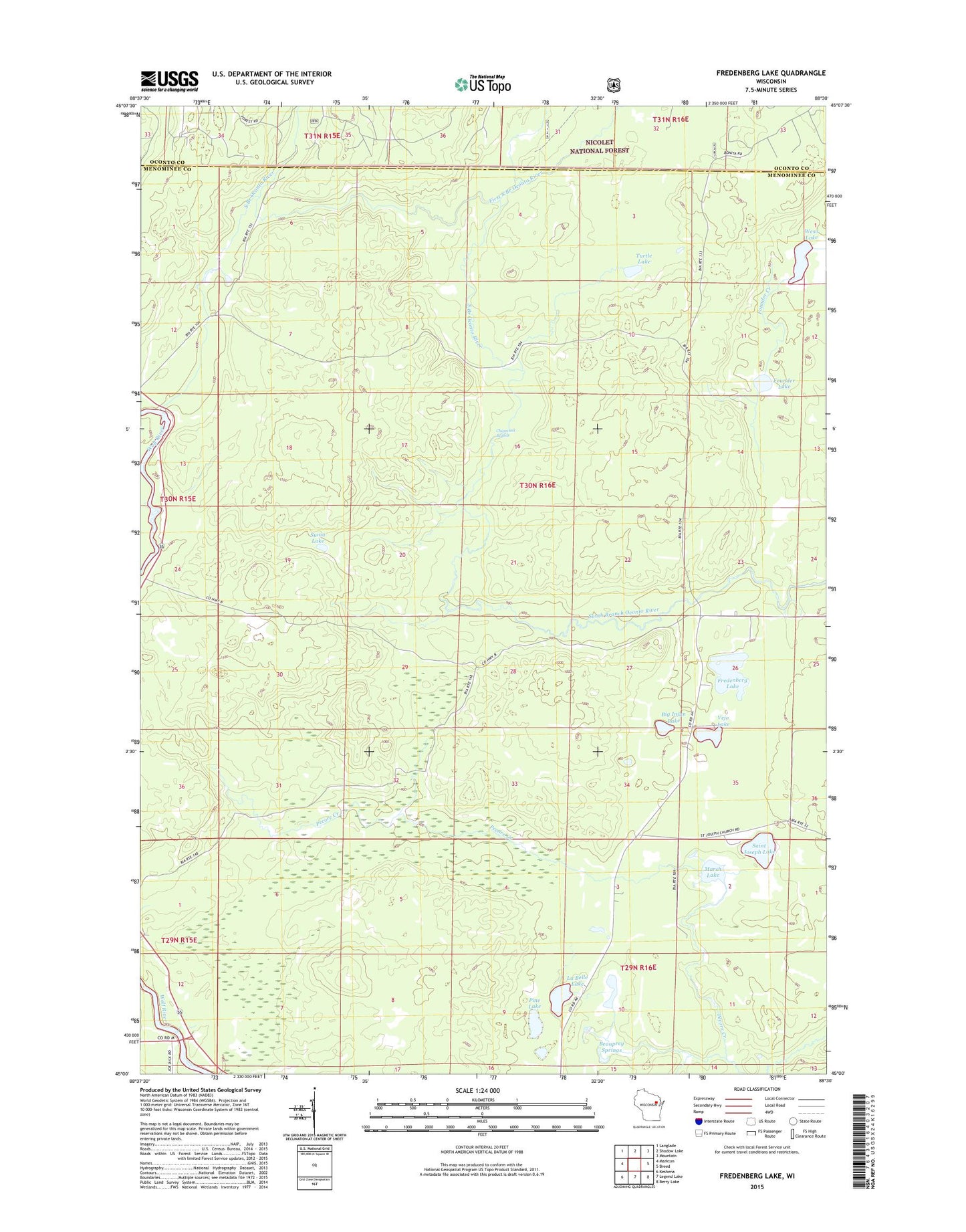
2022 topographic map quadrangle Fredenberg Lake in the state of Wisconsin. Scale: 1:24000. Based on the newly updated USGS 7.5' US Topo map series, this map is in the following counties: Menominee, Oconto. The map contains contour data, water features, and other items you are used to seeing on USGS maps, but also has updated roads and other features. This is the next generation of topographic maps. Printed on high-quality waterproof paper with UV fade-resistant inks.
Quads adjacent to this one:
West: Markton
Northwest: Langlade
North: Shadow Lake
Northeast: Mountain
East: Breed
Southeast: Berry Lake
South: Legend Lake
Southwest: Keshena
This map covers the same area as the classic USGS quad with code o45088a5.
Contains the following named places: Beauprey Springs, Big Injun Lake, Chipmunk Rapids, Crystal Springs Lake, First South Branch Oconto River, Founder Creek, Founder Lake, Fredenberg Lake, La Belle Lake, La Belle Lookout Tower, Marsh Lake, Menominee Reservation Campground, Pine Lake, Saint Joseph Church, Saint Joseph Lake, South Branch Ranger Station, Sunia Lake, Turtle Lake, Vejo Lake, Weso Lake, Wolf Wild and Scenic River