MyTopo
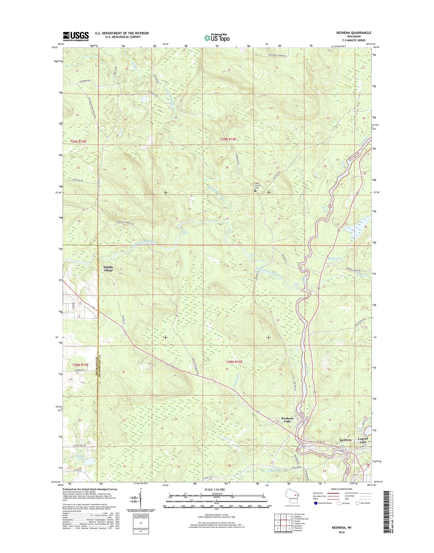
Keshena Wisconsin US Topo Map
Couldn't load pickup availability
2022 topographic map quadrangle Keshena in the state of Wisconsin. Scale: 1:24000. Based on the newly updated USGS 7.5' US Topo map series, this map is in the following counties: Menominee, Shawano. The map contains contour data, water features, and other items you are used to seeing on USGS maps, but also has updated roads and other features. This is the next generation of topographic maps. Printed on high-quality waterproof paper with UV fade-resistant inks.
Quads adjacent to this one:
West: Neopit
Northwest: Perote Lake
North: Markton
Northeast: Fredenberg Lake
East: Legend Lake
Southeast: Shawano
South: Thornton
Southwest: Gresham
This map covers the same area as the classic USGS quad with code o44088h6.
Contains the following named places: Beartrap Falls, Big Eddy Falls, Chickney Creek, Crow Rapids, Fish Creek, Keshena, Keshena Falls, Keshena Post Office, Keshena Village Fire Department, Kinepoway Lookout Tower, Legend Lake Number 236 2, Legend Lake Number One 3 WR 69 Dam, Little West Branch Creek, Malone Lake, Menominee County Sheriff's Department, Menominee Tribal Detention Facility - Jail, Menominee Tribal Police Department, Menominee Tribal Rescue Service, Middle Village, Middle Village Census Designated Place, Minnow Creek, Oshkosh Creek, Saint Josephs School, Saint Michaels Catholic Church, Schoolview Addition, Spirit Rock Historic Marker, Wayka Creek, Wayka Falls, West Branch Cemetery, West Branch Church, West Branch Wolf River, Wolf River Rapids