MyTopo
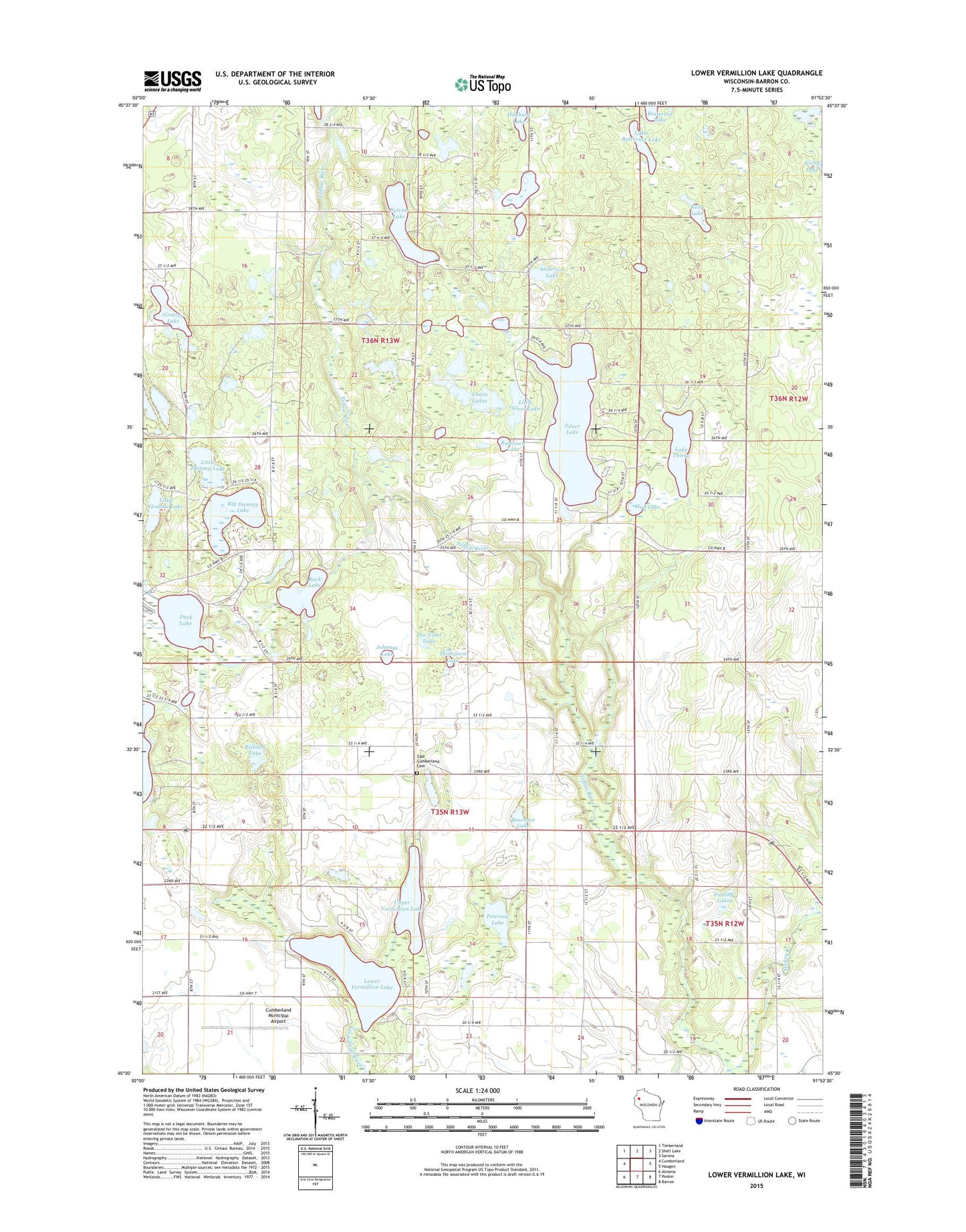
Lower Vermillion Lake Wisconsin US Topo Map
Couldn't load pickup availability
2022 topographic map quadrangle Lower Vermillion Lake in the state of Wisconsin. Scale: 1:24000. Based on the newly updated USGS 7.5' US Topo map series, this map is in the following counties: Barron. The map contains contour data, water features, and other items you are used to seeing on USGS maps, but also has updated roads and other features. This is the next generation of topographic maps. Printed on high-quality waterproof paper with UV fade-resistant inks.
Quads adjacent to this one:
West: Cumberland
Northwest: Timberland
North: Shell Lake
Northeast: Sarona
East: Haugen
Southeast: Barron
South: Poskin
Southwest: Almena
This map covers the same area as the classic USGS quad with code o45091e8.
Contains the following named places: Anderson Lake, Big Dummy Lake, Bowman Lake, Buck Lake, Chain Lakes, Cumberland Municipal Airport, Duck Lake, East Cumberland Cemetery, Firetag Lake, Grant County Park, Grant Park, Grassy Lake State Public Fishery Area, Greeley Lake, Hickey Creek, Hogback Lake, Johnnys Lake, Kelly Lake, Lake Thirty, Little Butternut Lake, Little Dummy Lake, Little Granite Lake, Little Silver Lake, Lower Vermillion Lake, Mud Lake, Pea Viner Lake, Peterson Lake, Rainbow Ranch Camp, Redman Lake, Robinson Lake, Section Ten Lutheran Church, Section Ten School, Silver Lake, Sylvan Lake, Thompson Lake, Town of Cumberland, Town of Lakeland, Upper Vermillion Lake, Yellow River State Public Fishery Area


