MyTopo
Mazomanie Wisconsin US Topo Map
Couldn't load pickup availability
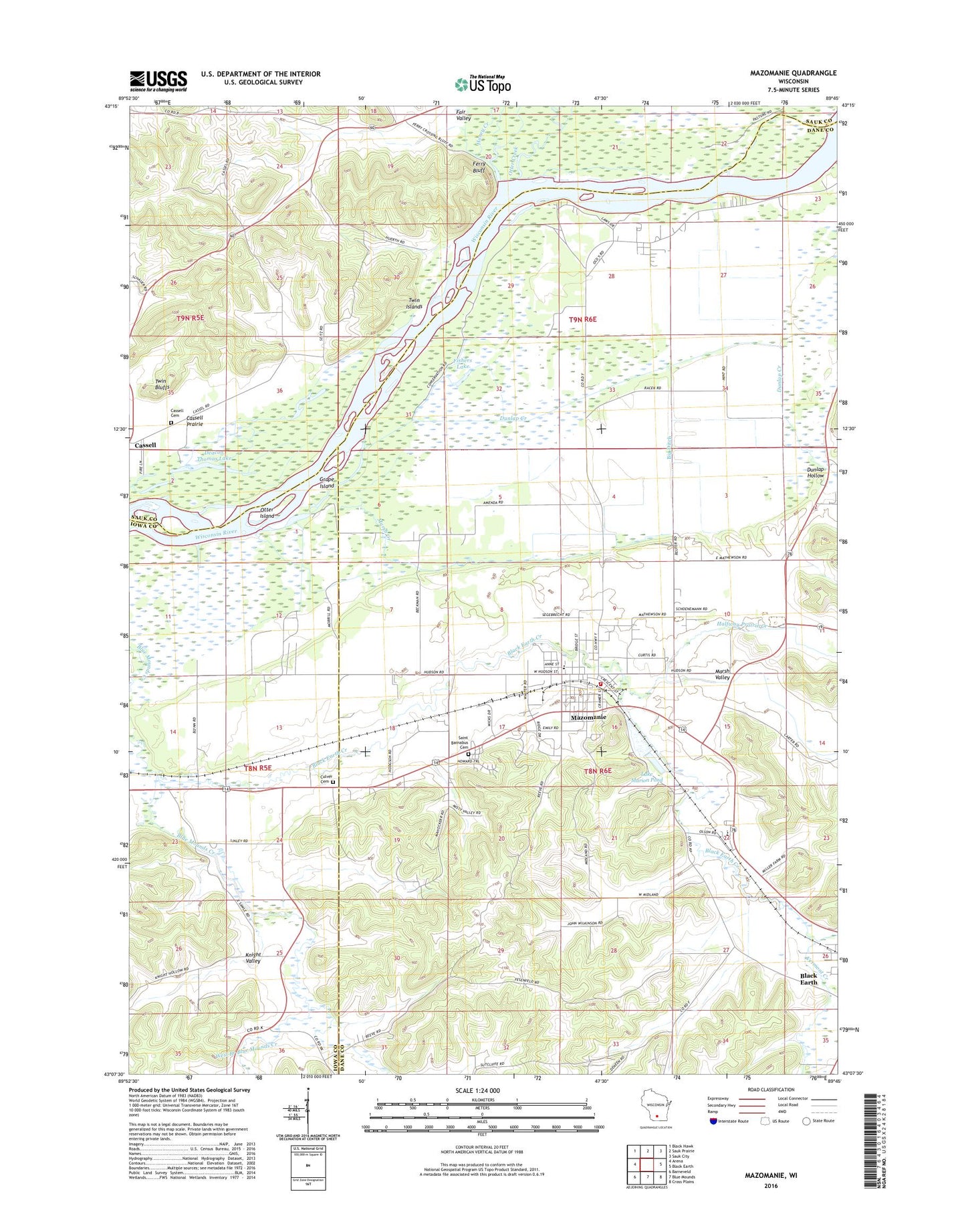
2022 topographic map quadrangle Mazomanie in the state of Wisconsin. Scale: 1:24000. Based on the newly updated USGS 7.5' US Topo map series, this map is in the following counties: Dane, Sauk, Iowa. The map contains contour data, water features, and other items you are used to seeing on USGS maps, but also has updated roads and other features. This is the next generation of topographic maps. Printed on high-quality waterproof paper with UV fade-resistant inks.
Quads adjacent to this one:
West: Arena
Northwest: Black Hawk
North: Sauk Prairie
Northeast: Sauk City
East: Black Earth
Southeast: Cross Plains
South: Blue Mounds
Southwest: Barneveld
This map covers the same area as the classic USGS quad with code o43089b7.
Contains the following named places: Big Ditch, Black Earth Creek, Black Earth Rettenmund Prairie State Natural Area, Cassell Cemetery, Cassell Prairie, Dane - Iowa Wastewater Treatment Facility, Dane County Emergency Medical Services District 1, Deacon Thomas Lake, Dover Culver Cemetery, Dunlap Creek, Dunlap Hollow, East Branch Blue Mounds Creek, Fair Valley, Ferry Bluff, Ferry Bluff State Natural Area, Fishers Lake, Grape Island, Halfway Prairie Creek, Honey Creek, Knight Valley, Lake Marion Pond, Long Lake, Marsh Creek, Marsh Valley, Mazomanie, Mazomanie 2WP881 Dam, Mazomanie Bottoms State Natural Area, Mazomanie Cemetery, Mazomanie Elementary School, Mazomanie Fire Department, Mazomanie Police Department, Mazomanie Post Office, Mazomanie United Methodist Church, Mounds Creek Church, Otter Creek, Otter Island, Our Redeemer Lutheran Church, Saint Barnabas Cemetery, Saint Barnabas Parish Center, Saint Johns Lutheran Church, Town of Black Earth, Town of Mazomanie, Twin Bluffs, Twin Islands, Vermont Creek, Village of Mazomanie, West Branch Blue Mounds Creek, Wisconsin Heights High School, Wisconsin Heights Middle - High School


