MyTopo
Porterfield SW Wisconsin US Topo Map
Couldn't load pickup availability
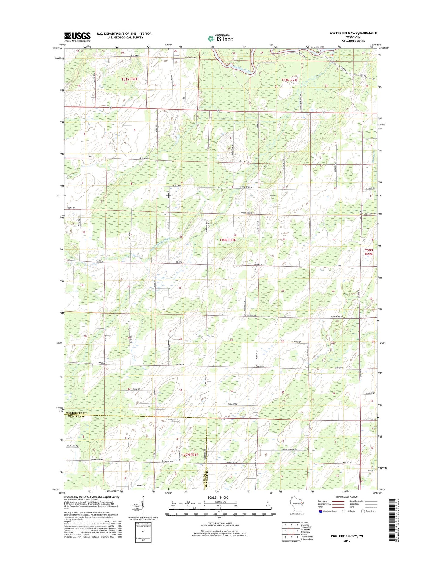
2022 topographic map quadrangle Porterfield SW in the state of Wisconsin. Scale: 1:24000. Based on the newly updated USGS 7.5' US Topo map series, this map is in the following counties: Marinette, Oconto. The map contains contour data, water features, and other items you are used to seeing on USGS maps, but also has updated roads and other features. This is the next generation of topographic maps. Printed on high-quality waterproof paper with UV fade-resistant inks.
Quads adjacent to this one:
West: Coleman
Northwest: Crivitz
North: Loomis
Northeast: Porterfield
East: Harmony
Southeast: Oconto East
South: Oconto West
Southwest: Lena
This map covers the same area as the classic USGS quad with code o45087a8.
Contains the following named places: Airline School, Bartles School, Behnke School, Equity Park, Evergreen School, Fairfield School, Forest View School, Grant School, Little Peshtigo River, Payne School, Saint Matthews Church, Section Seven School, Town of Pound, Woulf School