MyTopo
Beckwith Wyoming US Topo Map
Couldn't load pickup availability
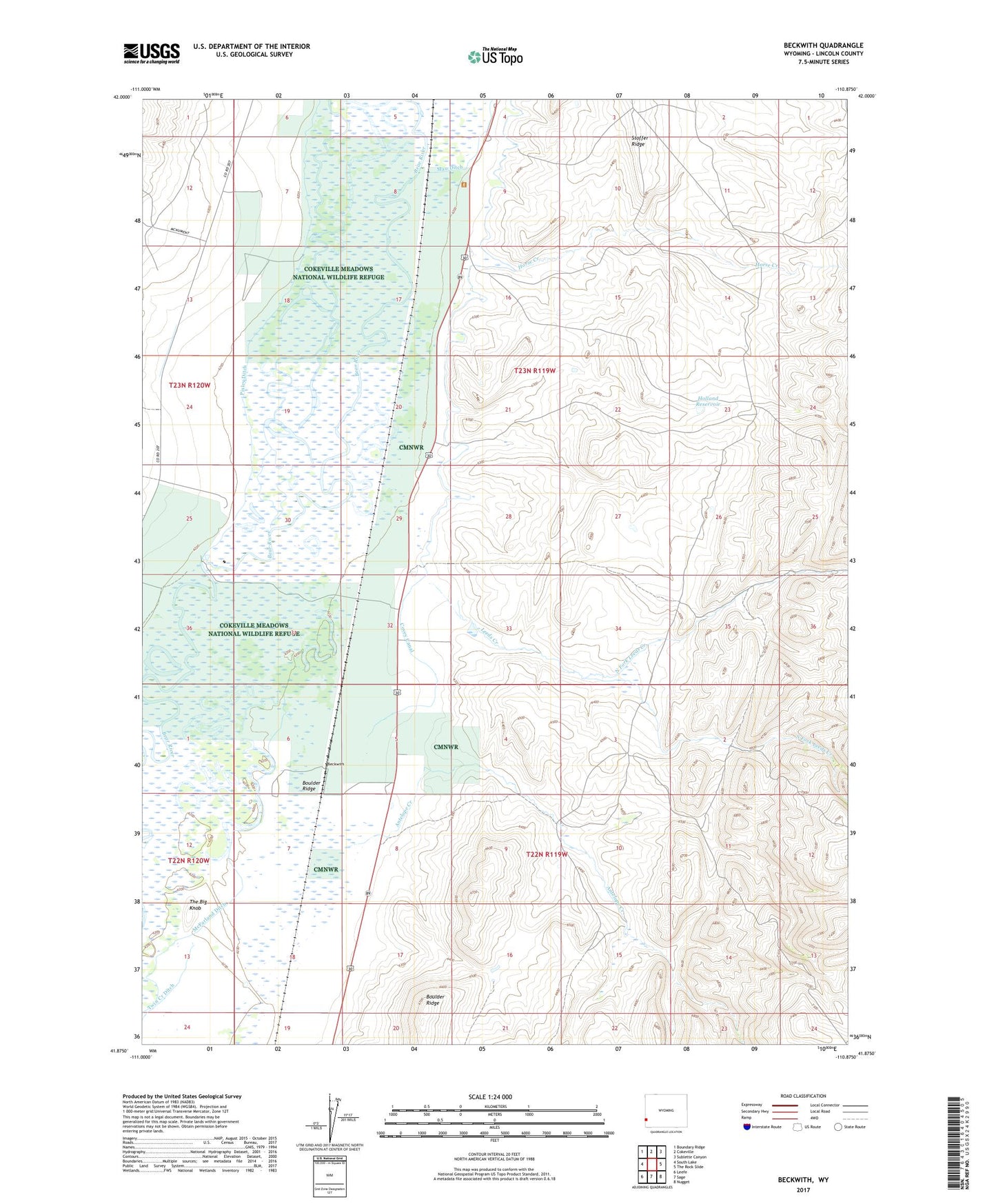
2021 topographic map quadrangle Beckwith in the state of Wyoming. Scale: 1:24000. Based on the newly updated USGS 7.5' US Topo map series, this map is in the following counties: Lincoln. The map contains contour data, water features, and other items you are used to seeing on USGS maps, but also has updated roads and other features. This is the next generation of topographic maps. Printed on high-quality waterproof paper with UV fade-resistant inks.
Quads adjacent to this one:
West: South Lake
Northwest: Boundary Ridge
North: Cokeville
Northeast: Sublette Canyon
East: The Rock Slide
Southeast: Nugget
South: Sage
Southwest: Leefe
This map covers the same area as the classic USGS quad with code o41110h8.
Contains the following named places: Antelope Creek, Beckwith, Cokeville Meadows National Wildlife Refuge, Covey Canal, Holland Dam, Holland Reservoir, Horse Creek, Leeds Creek, North Fork Leeds Creek, Pixley Dam, Pixley Ditch, South Fork Leeds Creek, The Big Knob