MyTopo
South Lake Utah US Topo Map
Couldn't load pickup availability
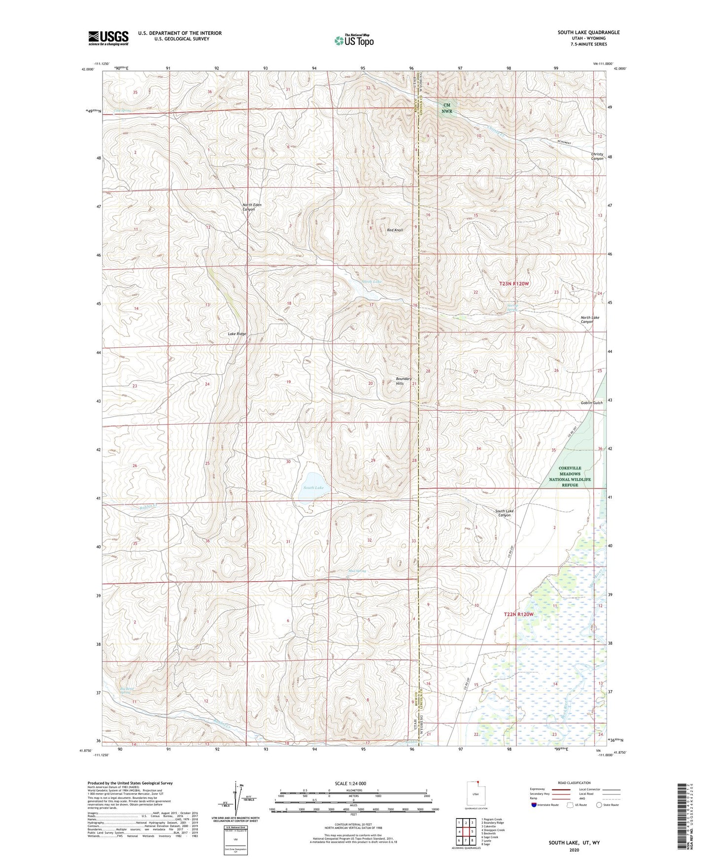
2023 topographic map quadrangle South Lake in the states of Utah, Wyoming. Scale: 1:24000. Based on the newly updated USGS 7.5' US Topo map series, this map is in the following counties: Rich, Lincoln. The map contains contour data, water features, and other items you are used to seeing on USGS maps, but also has updated roads and other features. This is the next generation of topographic maps. Printed on high-quality waterproof paper with UV fade-resistant inks.
Quads adjacent to this one:
West: Sheeppen Creek
Northwest: Pegram Creek
North: Boundary Ridge
Northeast: Cokeville
East: Beckwith
Southeast: Sage
South: Leefe
Southwest: Sage Creek
Contains the following named places: Beckwith and Quinn Canal, Big Bend Spring, Boundary Hills, Christy Canyon, Cold Spring, Goblin Gulch, Lake Ridge, Mud Spring, North Lake, North Lake Canyon, Red Knoll, River Ditch, San Francisco Chemical Company Number Four Mine, South Lake, South Lake Canyon, Stirrup Spring