MyTopo
Cottier Wyoming US Topo Map
Couldn't load pickup availability
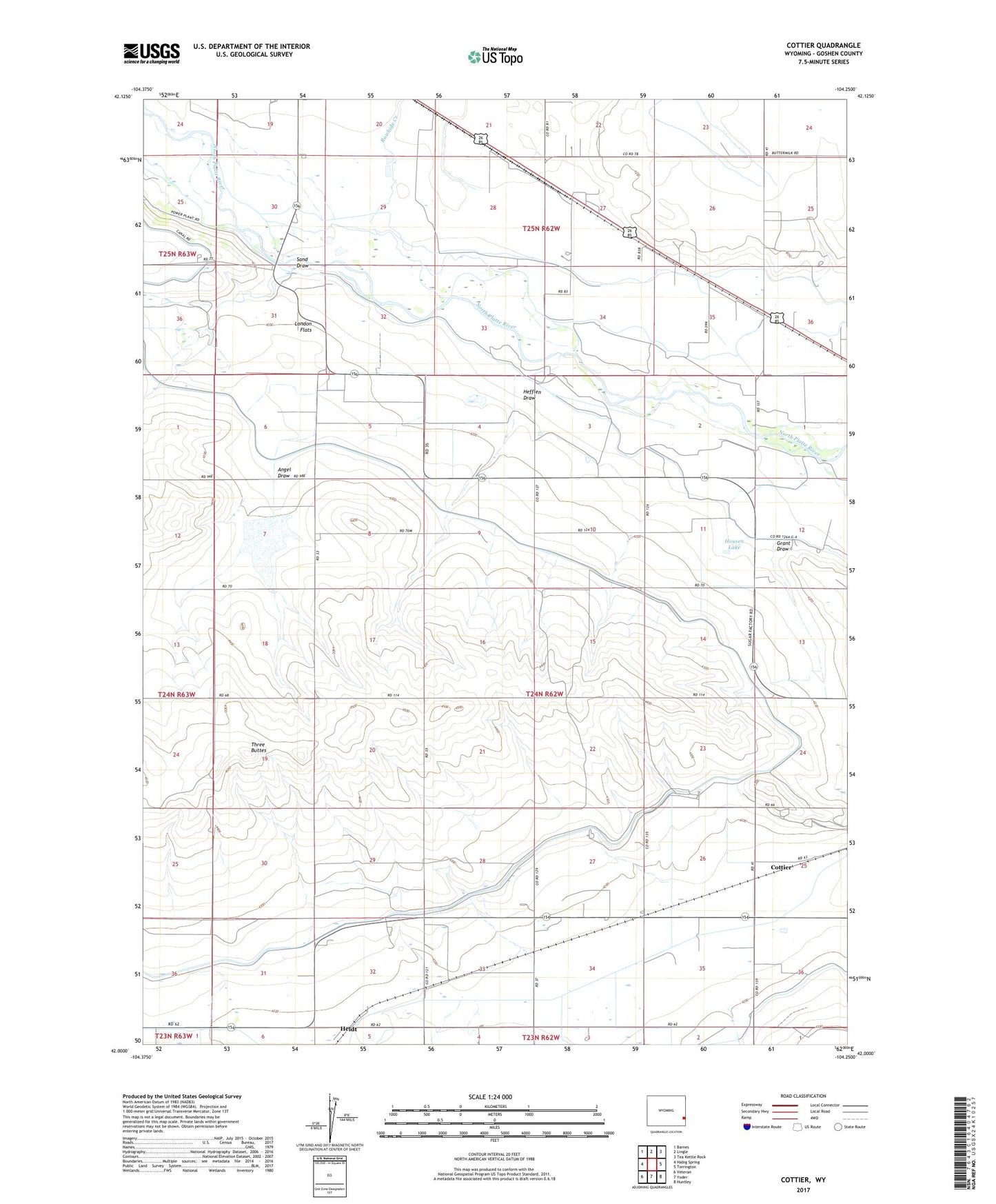
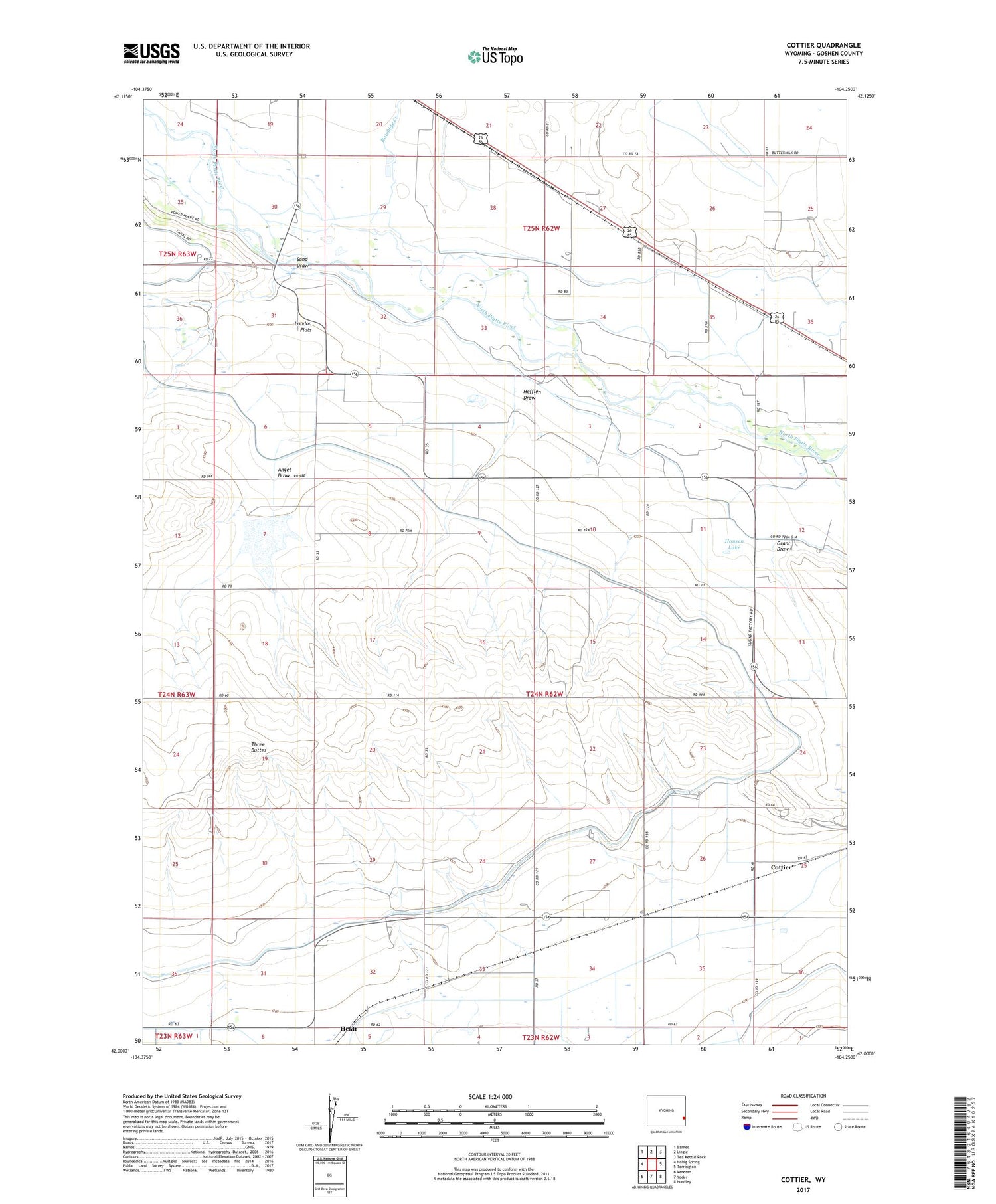
2021 topographic map quadrangle Cottier in the state of Wyoming. Scale: 1:24000. Based on the newly updated USGS 7.5' US Topo map series, this map is in the following counties: Goshen. The map contains contour data, water features, and other items you are used to seeing on USGS maps, but also has updated roads and other features. This is the next generation of topographic maps. Printed on high-quality waterproof paper with UV fade-resistant inks.
Quads adjacent to this one:
West: Habig Spring
Northwest: Barnes
North: Lingle
Northeast: Tea Kettle Rock
East: Torrington
Southeast: Huntley
South: Yoder
Southwest: Veteran
Contains the following named places: Angel Draw, Cherry Creek Drain, Cottier, Deering Drain, Goshen County, Grant Draw, Hefflen Draw, Heldt, Housen Lake, Rawhide Creek, Rock Ranch, Rock Ranch Canal, Sand Draw, Three Buttes, Tibbets Drain, Torrington Ditch