MyTopo
Torrington Wyoming US Topo Map
Couldn't load pickup availability
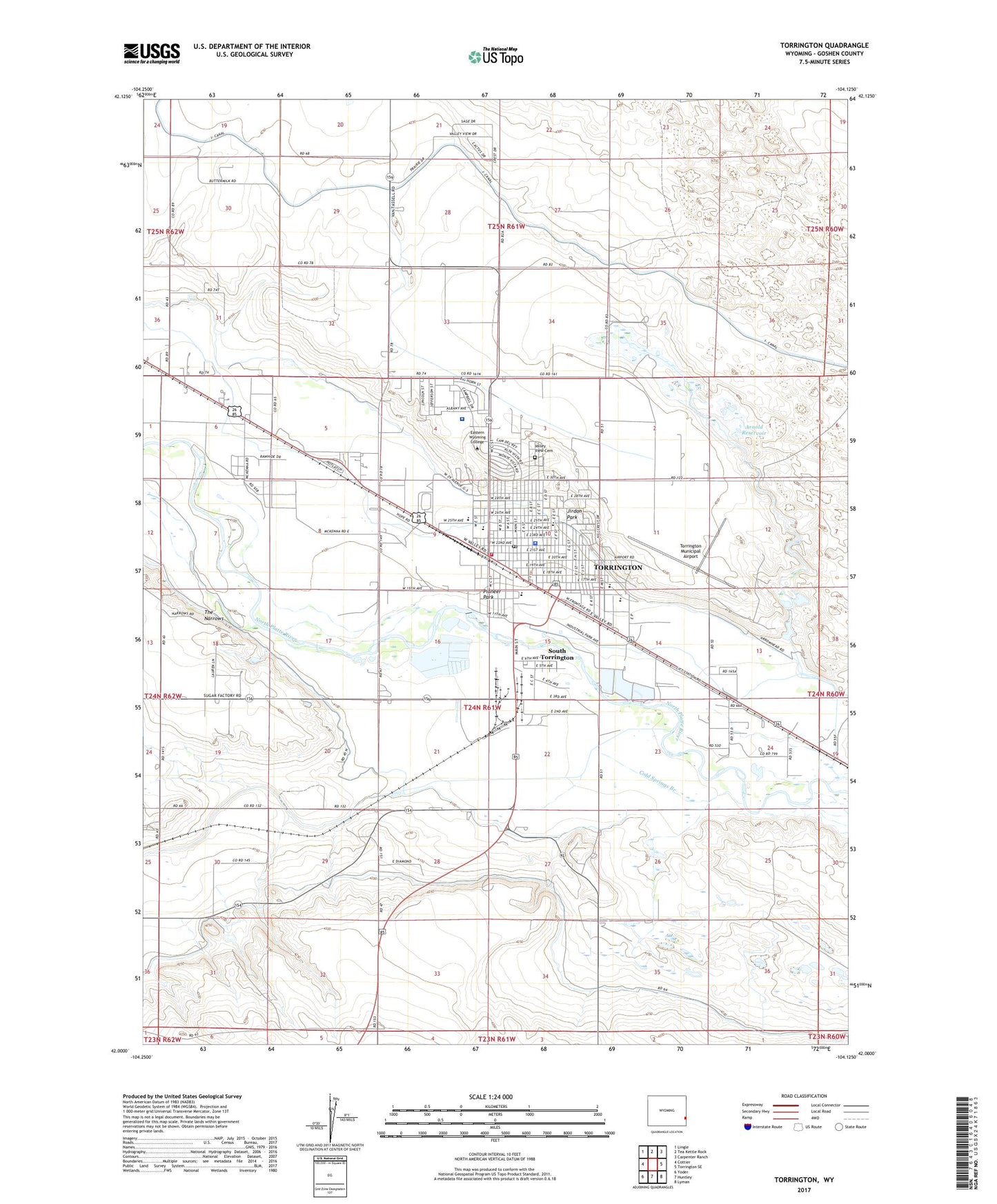
2021 topographic map quadrangle Torrington in the state of Wyoming. Scale: 1:24000. Based on the newly updated USGS 7.5' US Topo map series, this map is in the following counties: Goshen. The map contains contour data, water features, and other items you are used to seeing on USGS maps, but also has updated roads and other features. This is the next generation of topographic maps. Printed on high-quality waterproof paper with UV fade-resistant inks.
Quads adjacent to this one:
West: Cottier
Northwest: Lingle
North: Tea Kettle Rock
Northeast: Carpenter Ranch
East: Torrington SE
Southeast: Lyman
South: Huntley
Southwest: Yoder
This map covers the same area as the classic USGS quad with code o42104a2.
Contains the following named places: 1940 Main Mall, Adult Foster Care Hospital, Arnold Dam, Arnold Draft Spillway, Arnold Drainage Ditch, Arnold Reservoir, Cherry Creek Wasteway, City of Torrington, Cold Springs Branch, Cold Springs Station, Community Hospital, Community Hospital Heliport, Country Villa Hospital, Evergreen Court Hospital, Goshen Care Center, Jirdon Park, KGOS-AM (Torrington), Lincoln Elementary School, North Platte Ditch, Pioneer Park, Prairie Center School, Saint Josephs Orphanage, Saint Rose Church, South Torrington, The Narrows, Torrington, Torrington Division, Torrington Emergency Medical Services, Torrington High School, Torrington Middle School, Torrington Municipal Airport, Torrington Police Department, Torrington Post Office, Torrington Volunteer Fire Department, Trail Elementary School, Valley View Cemetery, Wyoming Highway Patrol District 2 Division F


