MyTopo
Devil Slide Wyoming US Topo Map
Couldn't load pickup availability
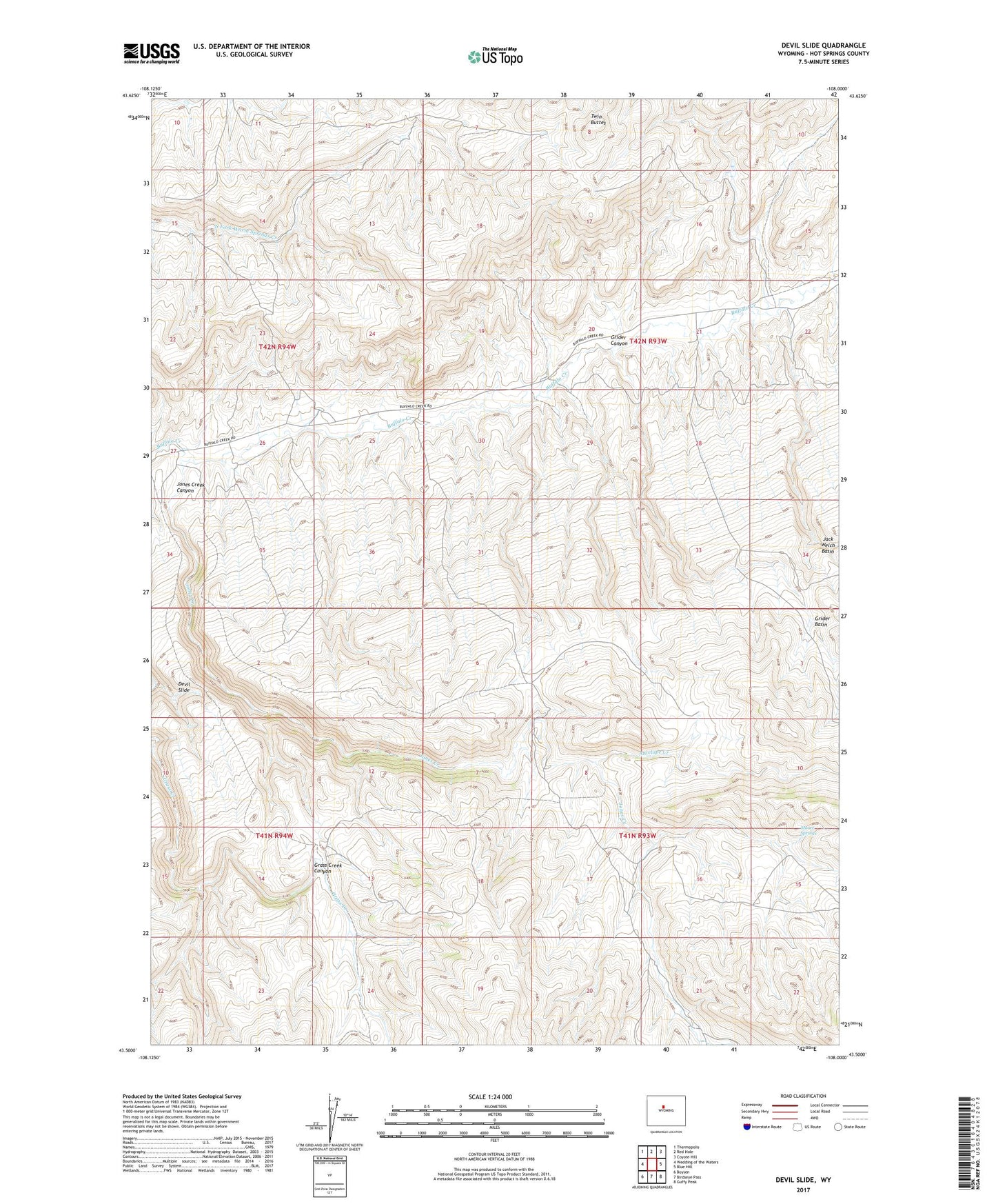
2021 topographic map quadrangle Devil Slide in the state of Wyoming. Scale: 1:24000. Based on the newly updated USGS 7.5' US Topo map series, this map is in the following counties: Hot Springs. The map contains contour data, water features, and other items you are used to seeing on USGS maps, but also has updated roads and other features. This is the next generation of topographic maps. Printed on high-quality waterproof paper with UV fade-resistant inks.
Quads adjacent to this one:
West: Wedding of the Waters
Northwest: Thermopolis
North: Red Hole
Northeast: Coyote Hill
East: Blue Hill
Southeast: Guffy Peak
South: Birdseye Pass
Southwest: Boysen
This map covers the same area as the classic USGS quad with code o43108e1.
Contains the following named places: Antelope Creek, Devil Slide, East Fork Jones Creek, Grider Basin, Grider Canyon, Jones Creek, Jones Creek Canyon, Moore Springs, Nickelson Place, Twin Buttes