MyTopo
Wilkins Peak Wyoming US Topo Map
Couldn't load pickup availability
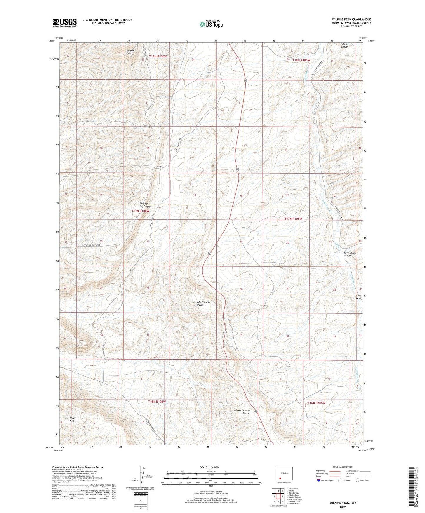
2021 topographic map quadrangle Wilkins Peak in the state of Wyoming. Scale: 1:24000. Based on the newly updated USGS 7.5' US Topo map series, this map is in the following counties: Sweetwater. The map contains contour data, water features, and other items you are used to seeing on USGS maps, but also has updated roads and other features. This is the next generation of topographic maps. Printed on high-quality waterproof paper with UV fade-resistant inks.
Quads adjacent to this one:
West: Whalen Butte
Northwest: Green River
North: Kanda
Northeast: Rock Springs
East: Kappes Canyon
Southeast: Earnest Butte
South: Firehole Basin
Southwest: Sage Creek Basin
This map covers the same area as the classic USGS quad with code o41109d3.
Contains the following named places: Cedar Creek, KYCS-FM (Rock Springs), Little Mellor Canyon, Sand Wash, Wilkins Peak