MyTopo
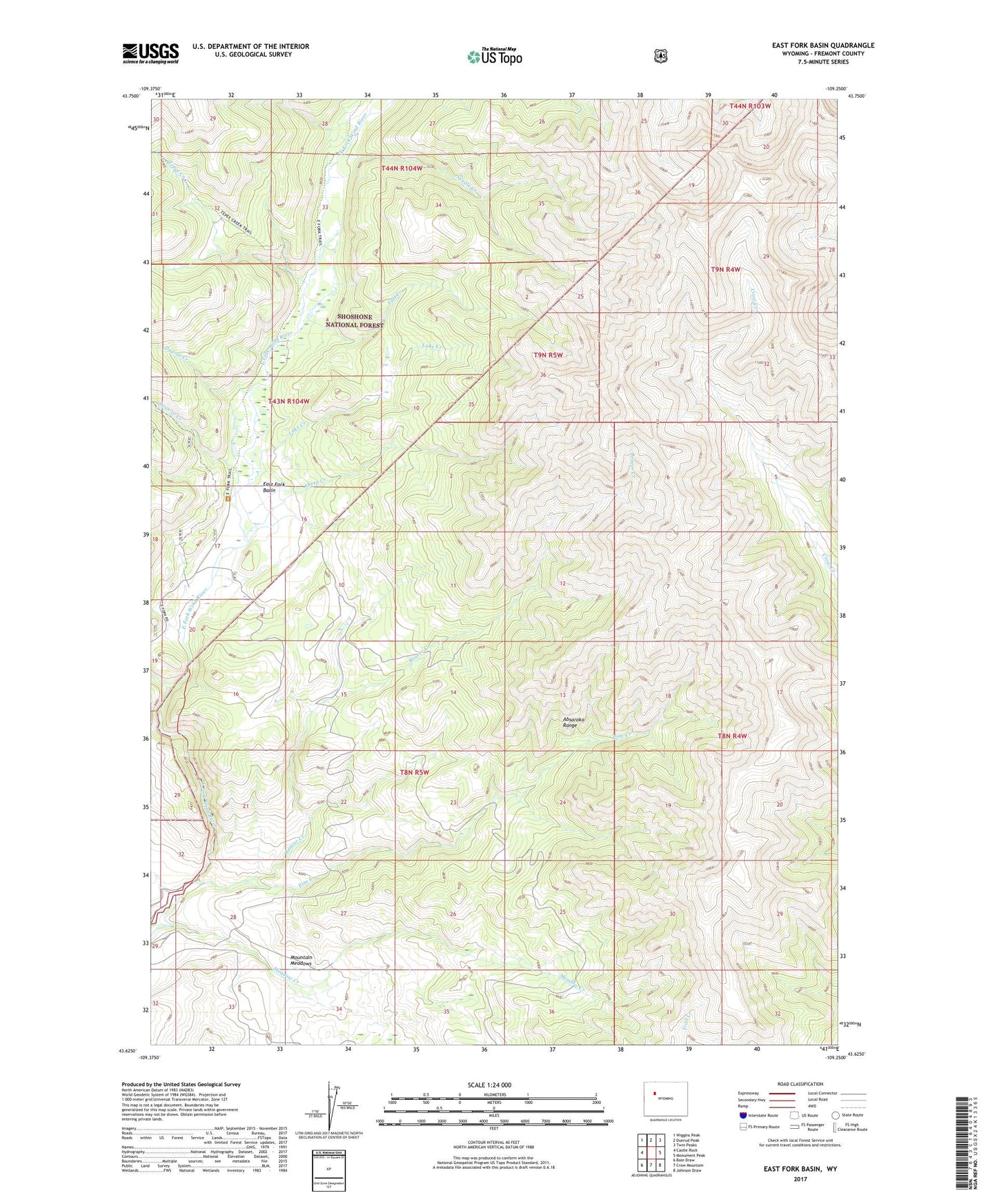
East Fork Basin Wyoming US Topo Map
Couldn't load pickup availability
Also explore the East Fork Basin Forest Service Topo of this same quad for updated USFS data
2021 topographic map quadrangle East Fork Basin in the state of Wyoming. Scale: 1:24000. Based on the newly updated USGS 7.5' US Topo map series, this map is in the following counties: Fremont. The map contains contour data, water features, and other items you are used to seeing on USGS maps, but also has updated roads and other features. This is the next generation of topographic maps. Printed on high-quality waterproof paper with UV fade-resistant inks.
Quads adjacent to this one:
West: Castle Rock
Northwest: Wiggins Peak
North: Dunrud Peak
Northeast: Twin Peaks
East: Monument Peak
Southeast: Johnson Draw
South: Crow Mountain
Southwest: Bain Draw
This map covers the same area as the classic USGS quad with code o43109f3.
Contains the following named places: Beaver Creek, Castle Creek, Dugout Creek, East Fork Basin, East Fork Guard Station, Fall Creek, Lake Creek, Lean-to Creek, Meadow Creek, Mountain Meadows, Needle Creek, Pine Creek, Sheep Creek, Tepee Creek