MyTopo
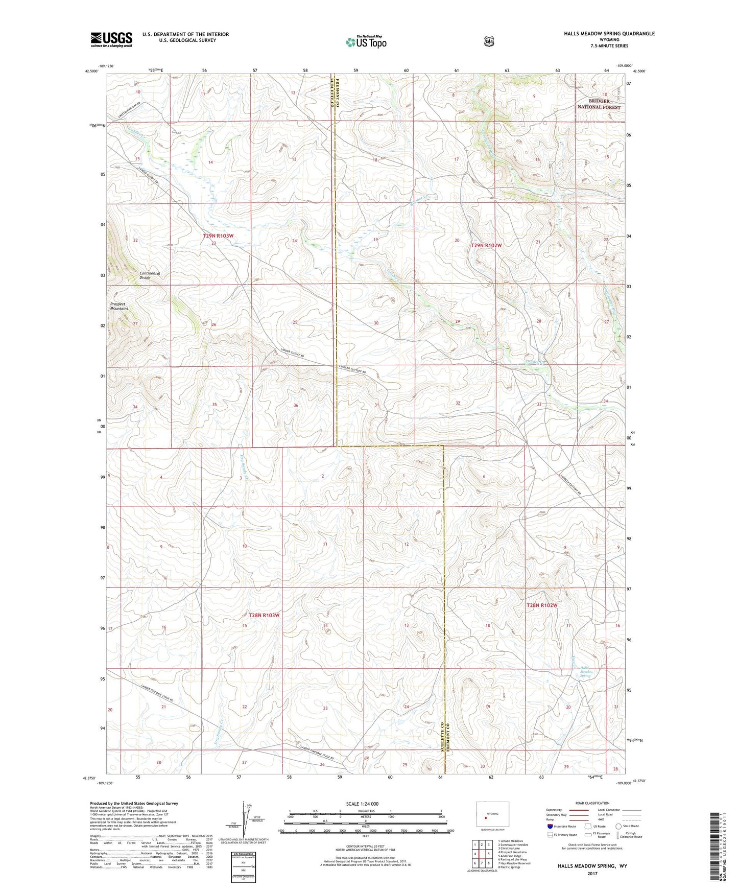
Halls Meadow Spring Wyoming US Topo Map
Couldn't load pickup availability
Also explore the Halls Meadow Spring Forest Service Topo of this same quad for updated USFS data
2021 topographic map quadrangle Halls Meadow Spring in the state of Wyoming. Scale: 1:24000. Based on the newly updated USGS 7.5' US Topo map series, this map is in the following counties: Sublette, Fremont. The map contains contour data, water features, and other items you are used to seeing on USGS maps, but also has updated roads and other features. This is the next generation of topographic maps. Printed on high-quality waterproof paper with UV fade-resistant inks.
Quads adjacent to this one:
West: Prospect Mountains
Northwest: Jensen Meadows
North: Sweetwater Needles
Northeast: Christina Lake
East: Anderson Ridge
Southeast: Pacific Springs
South: Hay Meadow Reservoir
Southwest: Parting of the Ways
This map covers the same area as the classic USGS quad with code o42109d1.
Contains the following named places: Anderson-Hawke Mine, Blucher Creek, Halls Meadow Spring, Juel Ranch, Prospect Mountains Mine