MyTopo
Hightower Wyoming US Topo Map
Couldn't load pickup availability
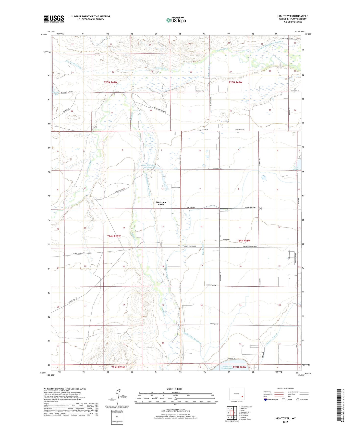
2021 topographic map quadrangle Hightower in the state of Wyoming. Scale: 1:24000. Based on the newly updated USGS 7.5' US Topo map series, this map is in the following counties: Platte. The map contains contour data, water features, and other items you are used to seeing on USGS maps, but also has updated roads and other features. This is the next generation of topographic maps. Printed on high-quality waterproof paper with UV fade-resistant inks.
Quads adjacent to this one:
West: Hightower SW
Northwest: Johnson Mountain
North: Lewis Flat
Northeast: Dwyer
East: Wheatland
Southeast: Ferguson Corner
South: Natwick
Southwest: Squaw Rock
Contains the following named places: Dry Laramie River, Feeder Ditch Number 2, Hightower, Iowa Lateral, Mountain View Community Hall, Mullen Ditch, O Bar O Number 3 Dam, O Bar O Number 3 Reservoir, Old Muleshoe Drain Ditch, Sybille Creek, Utter Dam, Utter Reservoir, Westview Circle, Westview Circle Census Designated Place, Wheatland Division, Wilkinson School